- Joined
- Aug 10, 2018
- Messages
- 1,596
- Reaction score
- 2,355
(Apologies for some pics being slightly out of focus... Due to conditions, I was working kind of fast on the photography at times)
Day 8
I took a brief morning paddle to see if I could catch a fish or two for breakfast while fully expecting that I may, indeed, be taking a layover day but Cairngorm lake seemed petulant about my scorning the pike offerings of the day before and would give up none of her fish. Meanwhile, a strong north wind blew me steadily down the shoreline.
I returned to the camp, made breakfast, pulled up a weather forecast on the inReach and saw no rain and nice temperatures but strong winds for the next couple of days. Reasoning that, if the wind beat me up too badly, I could always layover tomorrow in Steel, I packed up and paddled north on a beautifully sunny morning.
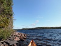
When I met him that morning on Santoy, Gerry had advised me to troll the brass Niti1 while on Cairngorm as there were lake trout there that might really go for it but, with the headwind, I found that pretty difficult to do. Even casting would often get me started turning perpendicular to the wind and I felt sure that an extended battle with a fish would likely have me in a precarious position long before the fish could be landed.
I did, however, try casting around windblown points as I was often sneaking along the shoreline to avoid the headwind but Cairngorm lake remained frugal with her fish and steadfastly refused to give up any more of them.
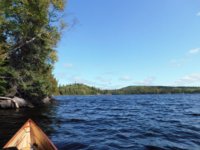
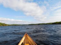
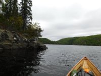
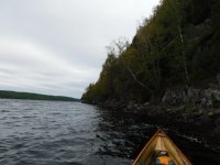
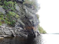
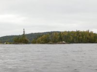
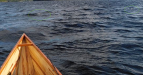
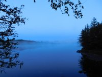
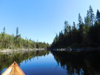
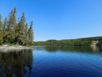
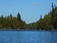
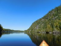
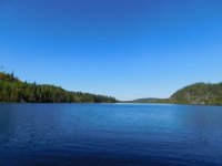
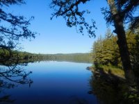
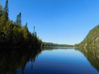
There were several places where I had no choice but to do open water crossings and the headwind on those was absolutely brutal. It was, however, warm, dry and sunny and the scenery was fantastic!
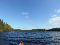
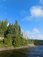
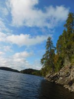
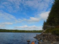
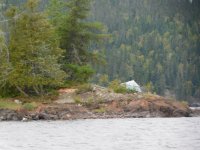
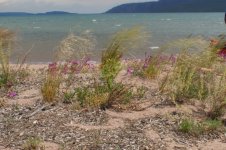
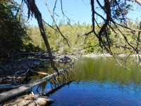
The map notations described Cairngorm as being “once beautiful” but “fairly desolate” due to fires a few years prior to Memaquay’s last trip through the area in 2011. I hope that he finds happiness as he reads this that the area is recovering nicely and, although evidence of the burnover is still easy to see, the landscape is once more stunning.
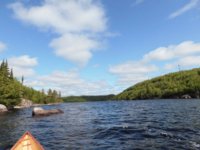
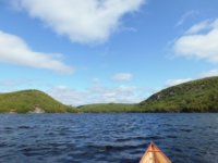
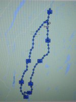
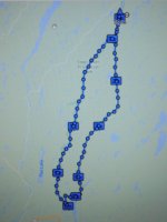
As I neared the North end of the lake, I varied from the route shown on the map slightly so that I could hide behind some of the islands and avoid the brunt of the wind. This worked well, I did not run into anything so shallow as to be impassable and nearly 4 ½ hours after breaking camp, I arrived at the portage out where I promptly sank into calf-deep mud while getting everything ashore.
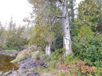
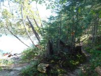
After that, the portage itself went smoothly although, as I neared the end, I noticed what appeared to be another trail leading off to the right. Curious, I followed it up over a small hill and back to the water just below a beaver dam that I would have had to cross if I’d launched at the actual portage sign.
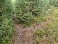
Like the lakes of the BWCA, this lake (often called Moose Lake), benefits greatly from beaver activity. I paddled about ½ of it and counted no fewer than 4 beaver huts which, interestingly, seemed to always be built against the shore rather than completely surrounded by water as they often are at home. I had to assume that, with winters being longer here, the beavers are forced to forage on land by the end of winter and they build their homes accordingly.
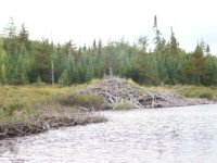
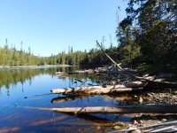
It was an easy paddle to the next portage which goes around a set of rapids and past a small bridge that was put in during one of the fires. The maps warned of a very messy landing at the upstream end but someone had laid a dead tree on the mud which served nicely as a dock.
There was also an enormous rowboat cached at this location so I suspect that the fire road may be used by fishermen to access the beaver-enhanced lake.
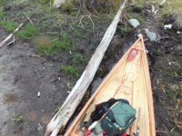
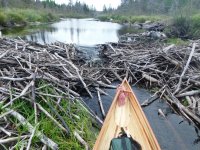
The beaver activity continued as I worked my way north and I next encountered a large beaver dam and one of the sketchiest portages of the trip. The marker was actually on the breast of the dam (or the dam had been extended to reach the marker… either way…) and the portage trail beyond was swampy even at this time of the year.
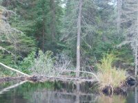
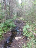
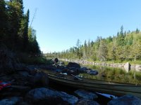
The low water levels again came into play at the exit of this portage as the stream was very rocky and there was not enough water escaping the beaver dam to allow paddling. Like the swampy entrance of “Tom’s pond” a couple of days earlier, I hopped from rock to rock, often navigating through the canoe, and pulled the canoe through to the open water beyond.
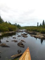
As I entered the southern end of Steel Lake, I was, again, assaulted by headwinds and the shallow water allowed little of the paddle blade to catch so I was essentially poling my way north from a seated position.
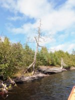
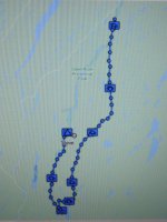
I paddled for about an hour to the 1st campsite shown on the maps (about 1 ½ miles / 2.4km from the last portage) from which I thought I could see the second site but it was another mile and a half into the headwind and it was nearly 8pm.
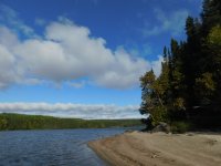
I fished briefly around the point, scored a decent pike and returned to the beach campsite for the night.
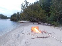
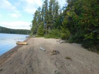
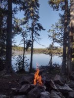
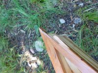
While setting up camp, I found a piece of plywood laying upon a downed Cedar and I carried it onto the beach for use as a windbreak for the firepit. It worked really well, the campsite was more than adequate for one person and I slept well knowing the I had not snubbed my nose at the pike offered up by Steel lake.
Since my journal had gotten wet on the 2nd day I’d been using a voice recorder app on my smartphone. I sat on the beach that night marveling at all of the other apps on the phone that were completely useless here due to lack of service and I felt utterly at peace with the silence of the woods and the serenity of the sky above me. (though, truthfully, I could have done without the angry beaver who kept slapping his tail at me)
Day 8
I took a brief morning paddle to see if I could catch a fish or two for breakfast while fully expecting that I may, indeed, be taking a layover day but Cairngorm lake seemed petulant about my scorning the pike offerings of the day before and would give up none of her fish. Meanwhile, a strong north wind blew me steadily down the shoreline.
I returned to the camp, made breakfast, pulled up a weather forecast on the inReach and saw no rain and nice temperatures but strong winds for the next couple of days. Reasoning that, if the wind beat me up too badly, I could always layover tomorrow in Steel, I packed up and paddled north on a beautifully sunny morning.

When I met him that morning on Santoy, Gerry had advised me to troll the brass Niti1 while on Cairngorm as there were lake trout there that might really go for it but, with the headwind, I found that pretty difficult to do. Even casting would often get me started turning perpendicular to the wind and I felt sure that an extended battle with a fish would likely have me in a precarious position long before the fish could be landed.
I did, however, try casting around windblown points as I was often sneaking along the shoreline to avoid the headwind but Cairngorm lake remained frugal with her fish and steadfastly refused to give up any more of them.

There were several places where I had no choice but to do open water crossings and the headwind on those was absolutely brutal. It was, however, warm, dry and sunny and the scenery was fantastic!

The map notations described Cairngorm as being “once beautiful” but “fairly desolate” due to fires a few years prior to Memaquay’s last trip through the area in 2011. I hope that he finds happiness as he reads this that the area is recovering nicely and, although evidence of the burnover is still easy to see, the landscape is once more stunning.


As I neared the North end of the lake, I varied from the route shown on the map slightly so that I could hide behind some of the islands and avoid the brunt of the wind. This worked well, I did not run into anything so shallow as to be impassable and nearly 4 ½ hours after breaking camp, I arrived at the portage out where I promptly sank into calf-deep mud while getting everything ashore.
After that, the portage itself went smoothly although, as I neared the end, I noticed what appeared to be another trail leading off to the right. Curious, I followed it up over a small hill and back to the water just below a beaver dam that I would have had to cross if I’d launched at the actual portage sign.

Like the lakes of the BWCA, this lake (often called Moose Lake), benefits greatly from beaver activity. I paddled about ½ of it and counted no fewer than 4 beaver huts which, interestingly, seemed to always be built against the shore rather than completely surrounded by water as they often are at home. I had to assume that, with winters being longer here, the beavers are forced to forage on land by the end of winter and they build their homes accordingly.

It was an easy paddle to the next portage which goes around a set of rapids and past a small bridge that was put in during one of the fires. The maps warned of a very messy landing at the upstream end but someone had laid a dead tree on the mud which served nicely as a dock.
There was also an enormous rowboat cached at this location so I suspect that the fire road may be used by fishermen to access the beaver-enhanced lake.

The beaver activity continued as I worked my way north and I next encountered a large beaver dam and one of the sketchiest portages of the trip. The marker was actually on the breast of the dam (or the dam had been extended to reach the marker… either way…) and the portage trail beyond was swampy even at this time of the year.


The low water levels again came into play at the exit of this portage as the stream was very rocky and there was not enough water escaping the beaver dam to allow paddling. Like the swampy entrance of “Tom’s pond” a couple of days earlier, I hopped from rock to rock, often navigating through the canoe, and pulled the canoe through to the open water beyond.

As I entered the southern end of Steel Lake, I was, again, assaulted by headwinds and the shallow water allowed little of the paddle blade to catch so I was essentially poling my way north from a seated position.
I paddled for about an hour to the 1st campsite shown on the maps (about 1 ½ miles / 2.4km from the last portage) from which I thought I could see the second site but it was another mile and a half into the headwind and it was nearly 8pm.
I fished briefly around the point, scored a decent pike and returned to the beach campsite for the night.
While setting up camp, I found a piece of plywood laying upon a downed Cedar and I carried it onto the beach for use as a windbreak for the firepit. It worked really well, the campsite was more than adequate for one person and I slept well knowing the I had not snubbed my nose at the pike offered up by Steel lake.
Since my journal had gotten wet on the 2nd day I’d been using a voice recorder app on my smartphone. I sat on the beach that night marveling at all of the other apps on the phone that were completely useless here due to lack of service and I felt utterly at peace with the silence of the woods and the serenity of the sky above me. (though, truthfully, I could have done without the angry beaver who kept slapping his tail at me)






![DSCN1683[1].JPG](/data/attachments/28/28329-a3722af788e240d524819c04ef39522f.jpg?hash=o3Iq94jiQN)