Day 3
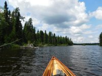
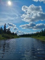
I started the day with more decisions to make. I’d planned on a much slower pace but, while the bugs owned the land, they usually weren’t bad at all out on the water.
The result of these conditions was that I was spending all day on the water paddling and, while I was trying to maintain a slow, yet steady pace, the fact is that you can cover some ground (and water) if you keep moving all day.
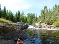
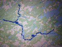
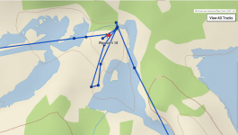
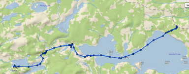
Not far downstream from camp the Powitik River flows into the Kapikotongwa (Kap) River.
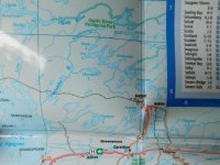
I was planning on being here closer to the end of day 4 than the morning of day 3 and had even contemplated taking a rest day on Faubert Lake which is upstream a few miles.
While studying the maps and planning my trip, I’d noticed a waterfall marked on the map of Faubert Lake and, as my frequent hiking partner, Cathy, can attest, I’m a sucker for waterfalls and nice vistas.
This one didn’t look inaccessible on the map… maybe a couple miles of bushwacking upstream and it WAS large enough to be marked on the map while the one I’d camped by the previous night was not.
So, despite the warnings of
TLC acting as background music in my head, I made the (questionable) decision to paddle (upstream, into a headwind) to check it out.
If it worked out, it might serve as redemption for dragging Cathy along on the futile hunt for a hidden waterfall on our day hike of the
Loyalhanna Gorge trail and, if not, at least I was solo… I wouldn’t have anyone threatening to kill me when we reached the car.
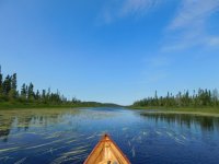
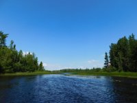
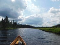
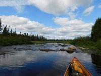
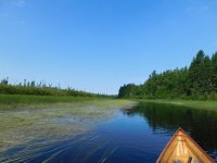
Honestly, the “upstream” part really didn’t seem to be a factor as the flow, in most places, was barely discernible. Even in the narrower sections where it was, the sandy bottom was close enough to push off of and the canoe could easily overcome the current.
It was a long, flatwater paddle in the hot sun and a headwind, however, and I found myself occasionally feeding bugs while taking a break on the shore.
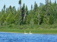
I also found myself paddling alongside a few pairs of swans and was surprised by how quickly they can paddle (with, seemingly, very little effort).
I’d seen a lot of ducks but they were very skittish and I’d been struggling to get good pictures of them.
The swans, however, seemed content to honk their heads off and paddle away (presumably leading me away from their nests but I’m not sure why that would take both of them)
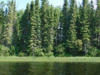
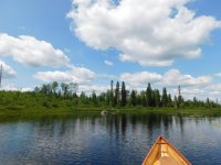
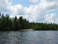
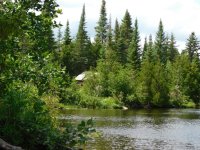
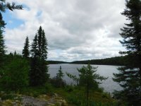
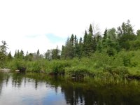
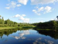
Two things that struck me about the scenery were that, near the junction of the Kap & Powitik, there seemed to be large clearings behind the trees that lined the banks.
I wasn’t sure if these were due to the efforts of memaquay and, perhaps, others like him to create riparian buffers that preserve the wilderness feel or if there were just large marshy areas beyond the trees.
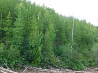
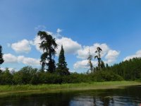
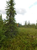
The second was that, as I neared Faubert, there was an old burn on river right (my left going upstream).
While, it didn’t seem to be nearly as recent as the burns on Cairngorm last fall, I, once again, thought it was remarkable how rapidly & completely the forest seemed to recover.
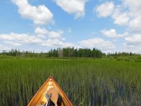
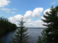
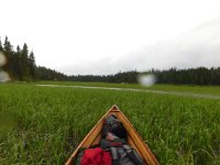
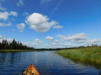
Upon reaching Faubert, I was, again, greeted by bank-to-bank fields of wild rice and also saw a float plane fly over which was the first sign of human activity (except for marking tape & the occasional portage sign) that I’d seen in days.
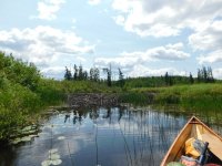
I paddled around the corner to the mouth of the stream I’d follow to the waterfall and, although mem had said he thought I could paddle the whole way to the falls, I wasn’t 200 yards upstream when I encountered a very well-built and impressive beaver dam that was easily 4 feet (1.22 meters) high.
I suppose I could have scaled it but I knew that there were likely others upstream & I’d have to drag over them both directions.
Given that the boat was fully loaded with gear and this dam was both high & steep, I decided to admit defeat, take advantage to both current and tailwind and paddle back the way I’d come.
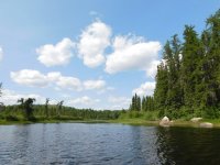
In hindsight, I kind of wish I’d paddled into Faubert proper, just to check it out, but mem had said there was road access to it now and I just wasn’t into it at the time.
The river, the fishing below the rapids and the thought of a tailwind had more appeal and, besides, the bugs seemed to be really enjoying the shallow water and I was getting swarmed again.
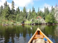
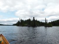
I paddled leisurely back toward the junction of the Kap & Powitik rivers, enjoying the sun and the lack of portages, removing shoes & socks and simply enjoying the day.
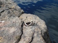
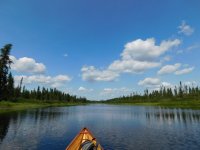
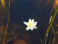
I paddled downstream toward an “easy class 1” rapid and a bony rapid with portages that were reportedly overgrown to the point of being no longer useful but I wasn’t too worried about them.
I knew that my boat does not handle well in the current but the maps said he’d always shot the bony rapid and I should just pick a careful line & expect to hit a few rocks.
No worries there; although I don’t intentionally abuse my canoes, I’d built it to be used and believed that it could withstand some impacts.
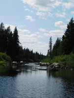
The “easy class 1” was barely a riffle and I did take a few minutes to look for a portage around the second rapid. Not finding one, however, I looked over my options, thought I saw a good line w/ minimal rocks, knelt down and
prepared for impact.
I thought I was doing pretty well descending the rapid and was almost through the top (the really bony part) when I caught on a rock mid-hull and the stern caught in the current. I was now high-centered, sideways in the rapid and in danger of pinning. I jumped out downstream so as to keep the upstream gunnel from dipping while I exited but, as I pushed off, I heard the distinctive “crack” of one of the strips breaking.
The reduced weight, however, did allow the water to push the boat off of the underwater rock and I jumped back in as it floated free.
The remainder of the rapid included just some minor scraping and I pulled ashore below the swift water so I could move gear aside and inspect the hull.
There were no leaks, just a small spider-webbed area where, no doubt, the wood below had cracked but I felt that it would be OK unless I was unfortunate enough to hit hard again in that exact same spot.
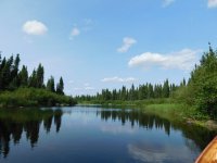
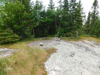
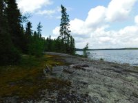
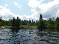
I paddled on looking for the next campsite and soon found it on river left. It was up a steep rock face, looked like it hadn’t been used in years and did have a couple of nice tent pads but it was early, there was very little breeze to deter the bugs and I made another questionable decision when I decided to paddle on.
In hindsight, I should have unloaded and returned upstream to catch some fish for supper at the bottom of the last rapid but hindsight, as always, didn’t come until later.
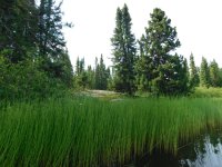

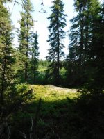
In this case, “later” was about 4km (2 ½ miles) downriver when I came to the next portage. This one goes around what the maps described as “some knarly class 2/3/4 rapids, depending on water levels”.
Now, one would think that, given that description, the portage should be pretty well-used but that did not seem to be the case.
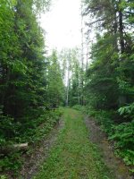
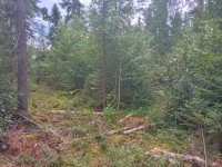
There were places where it was hard to follow, a few places that I went into swamp up to my knees and I wound up dragging the canoe for about 2/3 of the 670 meter (133 rod) portage.
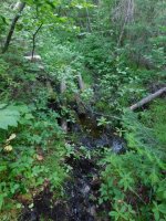
The maps indicated that there was a “real bughole” of a campsite in the patch of grass at the start of the portage so I switched up my portage routine this time and carried the canoe through first figuring that, if I found nothing better, I could set up camp in the bughole and finish the portage in the morning but, either way, the canoe had to go through.
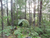
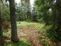
This decision actually worked really well as I found enough room near the end of the portage to tuck the tent into a small grove of Cedars so I returned for the pack, skipped the fire that night, made supper on the backpacking stove and burned 3 sections of mosquito coil in the tent that night when I turned in.
Yep, as you might have guessed by that last part, it was still a real bughole but, at least it was a bughole at the right end of the portage.
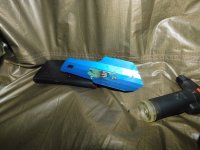
Throughout the trip, I didn’t find mosquito coil to be overly effective but it helped and, after about an hour and a half of swatting anything that landed on me, I had the bugs tamed enough that I could sleep.
