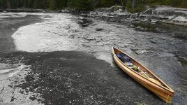
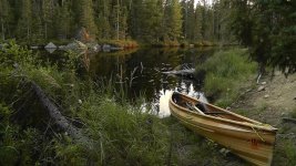
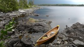
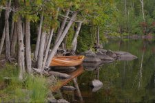
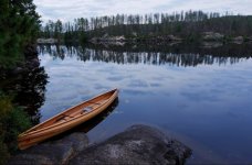
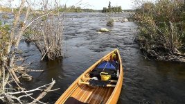
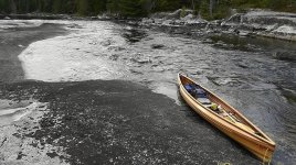
I paddled the Nemeiben Lake loop route in the counterclockwise direction, over to the Churchill River on the 6 portages route, then upstream on the Churchill for a few days where I wandered around on Blackbear Island Lake trying to keep from getting lost, then looped back around through the lakes to the south back to the start. Yes, it was high water and a very wet trip. It rained every one of the 14 days I was out. I did have some nice clear mornings, but storms came in and it started raining every afternoon which made for challenging camp setup. There was one 48 hour period where it didn't stop raining at all. Wind was out of the north and I must have seen a million geese heading south.
I had one interesting experience losing my bearings. As I was paddling among the many islands on Blackbear Island Lake, it started raining particularly hard. The intensity of rain where you can't see the water surface, just a haze. The canoe had been slowly filling with water over the previous hour and needed to be bailed. I took 2 or 3 minutes to bail out the boat and when I looked up I didn't recognize anything. The boat had been spinning around while I had my head down, and I completely lost track of landmarks around me and the direction I was travelling. After paddling around for a while with my map and compass out I was finally able to figure out where I was. Take a look at a map of that lake.
The temperature dropped during the second week with highs in the upper 30's, frozen everything, graupel and snow. I was able to keep my sleeping bag and sleeping clothes dry enough. I miscalculated footwear though, and ended up with cold/numb feet most of the time. If I had brought my old vapor barrier liners the feet would have been much more comfortable. I intended to do another trip in the area after this one, but the forecast was for colder temps and snow for the next week, so I bailed out and headed home instead.
Mark

