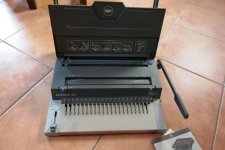
Anticipation is the greatest joy. 
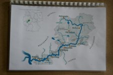
As I'm planning a multi-day canoe trip with friends in May, I'm already preparing the right maps. This approach has proved very successful on my last tours and I'm going to introduce it as my "standard".
Sure - of course I also have one of these map bags ...
 .
. 
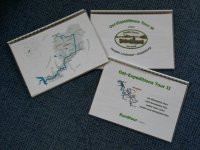
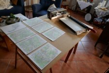
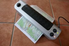
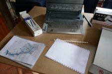
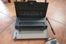
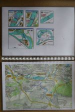
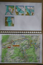
... I had copied a "better scale" of the map as a section, printed it out on paper and then laminated.
The corresponding features of the map section as well - and then I have everything at a glance.
great.
 .
.  .
. 
 .
.  .
. 
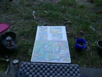
and here is a picture from last year.
regards
Michael
As I'm planning a multi-day canoe trip with friends in May, I'm already preparing the right maps. This approach has proved very successful on my last tours and I'm going to introduce it as my "standard".

Sure - of course I also have one of these map bags ...
 .
. 
... I had copied a "better scale" of the map as a section, printed it out on paper and then laminated.
The corresponding features of the map section as well - and then I have everything at a glance.
great.

 .
.  .
. 
 .
.  .
. 
and here is a picture from last year.

regards
Michael
Last edited:

