I met with a couple forum members (another forum, sorry) for an adventurous day trip through the Essex Chain Lakes, the Chain Drain (drainage of the chain lakes), the Rock River and the Cedar River. Below is the 14 mile round trip GPS track.
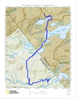
My goal was to see if a through trip from the chain lakes to the Hudson River was feasible or not.
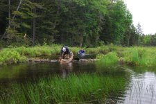
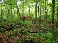
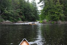
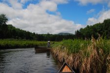
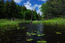
Along the way we saw many sets of moose tracks (no moose), plenty of deer including a six pointer, loons, beavers, osprey, etc. The Chain Lakes may be a worthy destination for some, but personally, they're not my thing. The Chain Drain is a delightful 2+ mile meander, ending at a natural rock dam and a set of cascades that drop over 50 feet in a series of steps, the 1st few between sheer rock walls. Thank you Mr. Beaver for creating the set of locks to maintain navigability. Getting around the cascades required bushwhacking for just 0.2 miles, but it's tough going with a steep contour, lots of deadfall and of course, no trail or path. The Rock River is very difficult to access any other way, so it remains in a pristine state, with old growth hardwoods crowding and overhanging the river. In the shallower sections, the bottom had many sets of moose tracks. Near the confluence of the Rock and Cedar rivers, there is Square Rock Rapids on the Cedar, a class III drop. The namesake rock is as large as a 2 stall garage. The Cedar here is flat and broad, and virtually untouched by man. There were many spots to camp along the way, although I saw no evidence of anyone doing so. Enough of my babbling, here's some photos, many more on my Picasa site.


