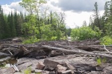
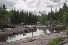
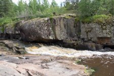
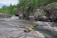
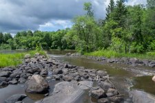
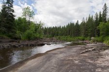
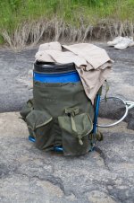
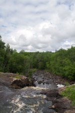
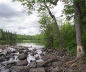
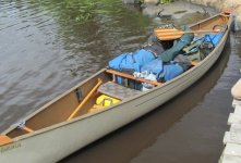
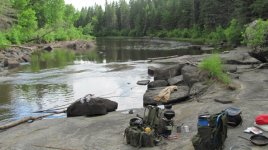
The Maskwa River.
Maskwa means Bear in Cree, but for this weekend it meant Bear-ly any Water.
We got away around 9:30 Friday morning under patchy cloud with a forecast of 30% chance of rain Friday, 60% rain and thunderstorms for Saturday. It did drizzle a bit on the way to the Maskwa Project, which is a camp on the river which bills itself as a Minimalist Wilderness Retreat. They have self made yurts and tent camping spaces, some other little buildings and are putting in trailer sites, so I suppose they need more funding to keep, keeping on. On the site but just upriver is a canvas wall tent set up. Someone must like being very minimalistic.
It is 142.5 km from our driveway to the Project. Not too bad at all for what is a wilderness river once you get a few portages upriver.
FLIES!!! Where did all the flies come from. The Project had flies everywhere. Hundreds of thousands of flies that would walk around on you and check you out but not bite. It got to be very annoying quickly. We were on the water by 11:30 and the flies came with us.
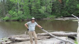
The river seemed to be pretty flush as we left but it does flow into the Winnipeg River and the dang gates had been closed, so it may have been holding the water back. It is a short paddle to the first portage and we finally got to see our first Eagle this year, it was perched above the flowing waters at the first portage. This port is river left going upstream. It paced out at 150 and the put in was a bit awkward due to the low water upstream. Seeing as this is a typical pool and drop river, we had sufficient water between the falls and rapids to continue, but the water was down about 2 feet.
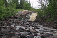
We carried on to where Christy had gotten in April. The Falls she had called it and there was water falling but not in the volume she had seen. First use of the chainsaw as Christy hacked out a lay down that blocked the start of the trail.
We carried this portage and spend a bit of time finding a better put in upstream which Christy cleaned up with the axe. It is 540 paces, the first 200 uphill. The top end could still use a better entry point but we made do with what we found.
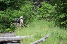
TICKS!! It was here we found the ticks. There is a couple hundred paces of travel through waist high grass which is likely where we picked them up. There were several crawling on our pants and tops so we needed to rid ourselves before they set up home.
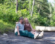
Just upriver we ran aground on some flat rocks and did a tick check. Two old ladies almost stripped bare in the middle of the river picking ticks off each other. To this point I had 4 and Christy had 9. Before the day ended I had 5 to Christy's 13. More ticks in one day than the previous 5 years combined.
I didn't have any agenda for this weekend but Christy had hoped out loud we could get all the way to port 15 which is 28km in. My agenda won out.
Now, we know from speaking with a FN Water Steward, Charles Simard, a number of years ago that the First Nations people who used to ply these rivers used oak trees to mark the start and end of portages and in between on long ones, in the same vein that we use blazes, as well as camp sites. I had forgotten to look at #1 but there were plenty on 2. Start, finish, middle. Lots of oak trees. Why oak? They are not indigenous so would stand out over time and they still do.
After #2 we ran out of clear portages completely, so due to the quad trail that uses the bridges at 2 and the usual spoils of partiers, they likely keep the trails open a bit as there are tracks most places but it was apparent nobody really uses the river anymore.
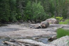
It wasn't far to the third rapid, which would not be difficult to wade at these water levels but the purpose of this trip was to find and resuscitate the ones we knew had to be here. So we looked but did not find an oak tree on either side, but chose the right bank as the likely choice since the river turned right just upstream. Christy went inland looking and I waited before playing Marco Polo to guide her back. She hacked and I sawed and soon we had a decent path around that rock pile. It was short, too short it turned out.
Back on the water we round the bend to the right and find another one. Easy wade again, which is what I did as Christy walked the sloping rock shore. She noticed a potential clearing just back from the bank and then joined me at the top of the swift. The satellite photo's did not show this, but when looking closely later we could see some of the rocks so the picture had to be taken during higher water. At some point someone had cleared this one out creating an easy run down the west side. We found that again further upstream and figured that maybe it was FN to move cargo easier, or when they first started to log the area and it made it easier for the river men to get the timber downstream.
We carried on.
Stunned silence when we got to 4. Oh crap. How are we getting up this? It was long, high, rocky as hell and had trees stacked like cord wood in all the wrong places. Rock hopping would be required at the bottom which we did after beaching the canoe to go explore. Wading, rock hopping and then walking up the slope to the top where there is usually water. I did notice the prominent oak tree at the opening to the clearing but it was getting to be later in the day and we needed a campsite.
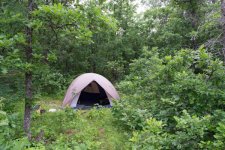
Once again I won out, which is unusual, so rather than humping gear over all the boulders we went back to #3 and checked out the little clearing. Moss, grass, nice spot. Funny how it is ringed with oak trees.
I did my chore which is set up camp while Christy got the kitchen set up down on the rock by the river. The space as it is would hold a couple small tents or our Wanderer 4. A little more clearing and it would fit several tents. Where I set up would be perfect for a canvas wall tent. It is a south facing exposure and protected on 3 sides.
We were both a tad weary at this point having spent 6 hours going 4km but it had been a satisfying day or achievement which would only improve.
Although we had the perfect spot for a campfire, we could have it beside the river and just push it in at the end, we adhere to the Provincial Open Fire Ban between April and November. A rock ring is an open fire although if it is an emergency it is permitted. Besides, we were worn out.
I spent the early evening penning the journal entry while Christy cooked then another tick check and hashing out the day's events and plans for tomorrow before fading into a 10 hour sleep.
End of day 1
Attachments
-
 photo7323.jpg142.3 KB · Views: 0
 -
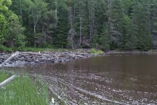 photo7324.jpg153.5 KB · Views: 0
 -
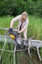 photo7325.jpg277.3 KB · Views: 0
 -
 photo7326.jpg135.1 KB · Views: 0
 -
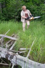 photo7328.jpg281.6 KB · Views: 0
 -
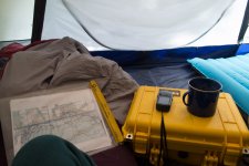 photo7327.jpg99.3 KB · Views: 0
 -
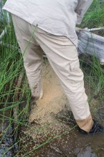 photo7329.jpg234.9 KB · Views: 0
 -
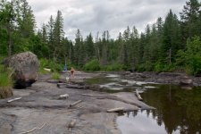 photo7330.jpg130.2 KB · Views: 0
 -
 photo7331.jpg197.5 KB · Views: 0
 -
 photo7332.jpg152.9 KB · Views: 0
 -
 photo7348.jpg181.6 KB · Views: 0
Last edited:

