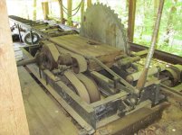
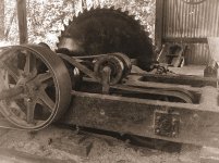
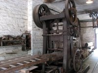
Stumbled across photos taken in 2016 along the Patuxent of bank-side wheels that seriously piqued my curiosity.
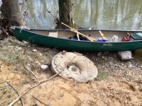
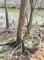
Back then I went as far as writing to a local historical society, but they never answered. The wheels are just upstream from a tributary named Mill Branch, and I speculated that these may have been some sort of mill wheels. Another speculative thought was they were used to compact soil. There's a raised area going back into the woods that could have been a road, and rocky soil at this site. Much sand and gravel has been mined along the Patuxent, but it's usually roundish river rock, unlike what's in the photo.
Now that I found the photos, I'm curious again. Anybody know what concrete/steel wheels were part of?


