Just a brief, but significant addendum to my South Nahanni Trip Report. I remembered talking to some of our Beaver Canoe Club members who had paddled the South Nahanni in 2008. When I asked them how they dealt with Hell's Gate, also known as Figure 8 Rapids, they said that the rapids were no longer there. At the time, I was silently sceptical. How could that be? After all, these rapids were infamous. They were considered the most formidable rapids on the entire river.

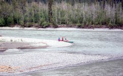
So a few days ago, I did some searches on the internet for other trip reports. One of them, in 2014, said that Figure 8 rapids no longer existed. So, maybe they are gone. And then, a trip report in 2006 posted by a guide who had paddled the South Nahanni more than 30 times was approaching Figure 8 rapids when everything looked completely different. She hustled her group off the river, and was stunned to note that this fairly large island at the top of the rapid had completely washed way in the spring flood.

This island had forced much off the water toward the left bank, where it it was deflected straight back across the river to deflect off the right bank, creating whirlpools on both sides.

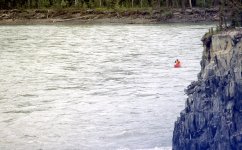
Our group in 1990 ran by crossing the wave train on river left as high as possible to get into the eddy behind the point.
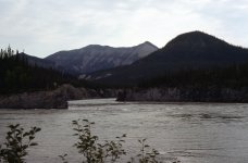
But now, with the entry island gone, the entire flow just simply makes the bend to the right, as rivers usually do. According to my friend James, who I emailed yesterday, "We cruised along river right and it was very comfortable. Dan and Paul paddled river left in an inflatable to crash over some waves but that was optional."
Amazing to think that the most challenging rapid was now completely gone. This reaffirms my general admonition to all river paddlers that "you should run all rivers as though you are making a first descent, no matter what the guidebook might say."
After all, once-formidable rapids can disappear, and un-runnable rapids can appear where none existed before.
Just thought you would find this interesting.


