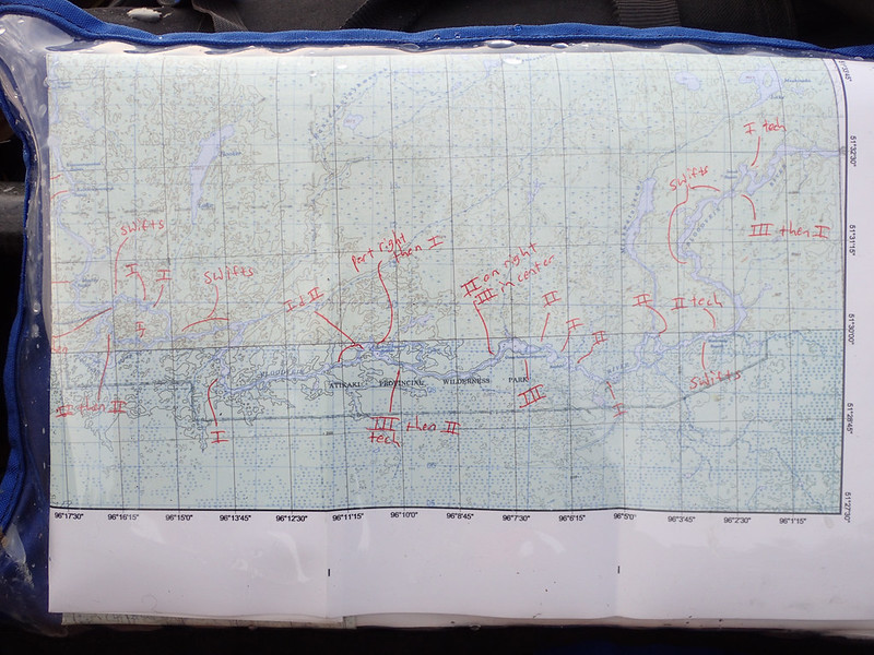
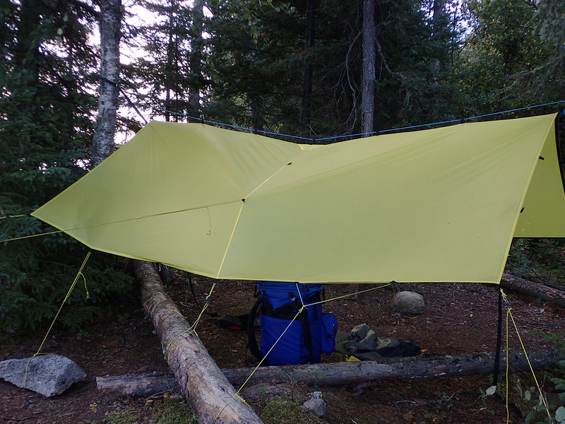
A little unsure what to do for a trip report. To be honest I don't normally write or read them. I prefer to go into a trip with only as much information as I need. A wise man once told me, "No expectations, no disappointments." It rang true and I try to live that as much as is possible/reasonable. For that reason I only skimmed Bloodvein trip reports and discussion threads looking for information regarding water levels and current speeds, both of which I found little to no information on. I bought Hap's book and read through the Bloodvein chapter a few times. One sentence mentioning this pool and drop river being historically used for both downstream and upstream travel is what my trip hinged upon. I transferred the rapid classifications and pictograph locations to my topo maps and some input on this forum reassured me that although the river gauge was reading quite low I shouldn't have to worry about running out of water. I tried to avoid looking at too many photographs or reading descriptions of the river and landscape. I wanted as much as possible to be a surprise. I didn't want to know what was around the next corner. For that reason this probably won't be a super detailed trip report but will concentrate more on Sadie and I's personal journey.
I've got a lot of photos and videos that still need to be edited and put together so the entire report will probably come in fits and starts. Tonight I'll try and get the dry part out of the way.
I'd never heard of the Bloodvein River until a few years ago when someone mentioned a river that starts in WCPP and runs a couple hundred miles to Lake Winnipeg with no roads or bridges leading to it for the entire length. That doesn't seem to be an easy thing to find in a river that's still reasonably accessible without the use of a float plane. I could drive to a put-in just outside WCPP and with just a few days paddling be on the Bloodvein. How to get back to the car was the big question. Being a tight arse and preferring to do things on my own I didn't like the idea of hiring a float plane and wondered how long it would take to paddle back upstream. Could I do it in a month? It would mean taking time off work without pay because of the extra paddling time but I'd still be money ahead over paying $1800 for a plane flight plus the added value of spending an extra couple weeks on the water. I thought about it pretty seriously for a while but then gave up the idea as nothing but a daydream because of the time and logistics that would be involved. Then last winter I watched Beav's video on his 6 month trip from Seattle to, through, and around Alaska and figured if he could do something as crazy as that I should be able to paddle down and back up the Bloodvein. So I decided I was going to do it and set out to design and build a canoe for the task.
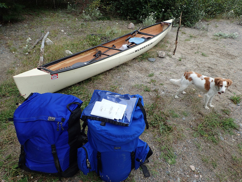
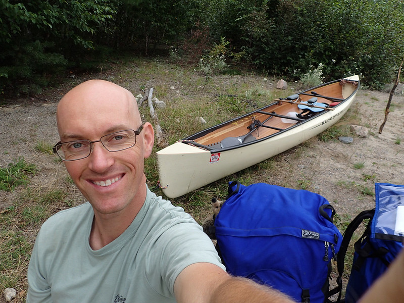
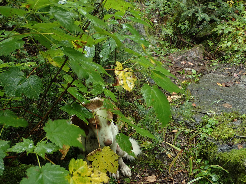
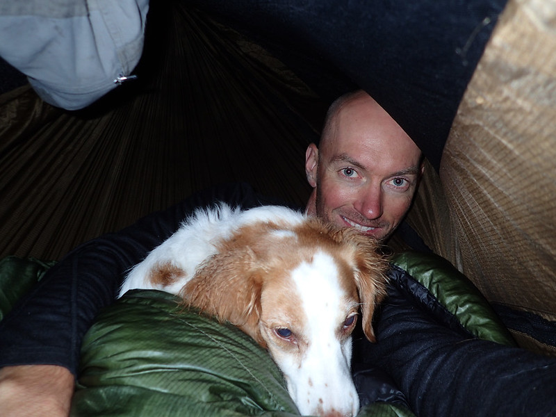
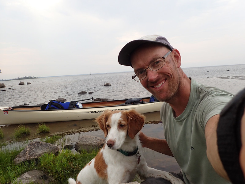
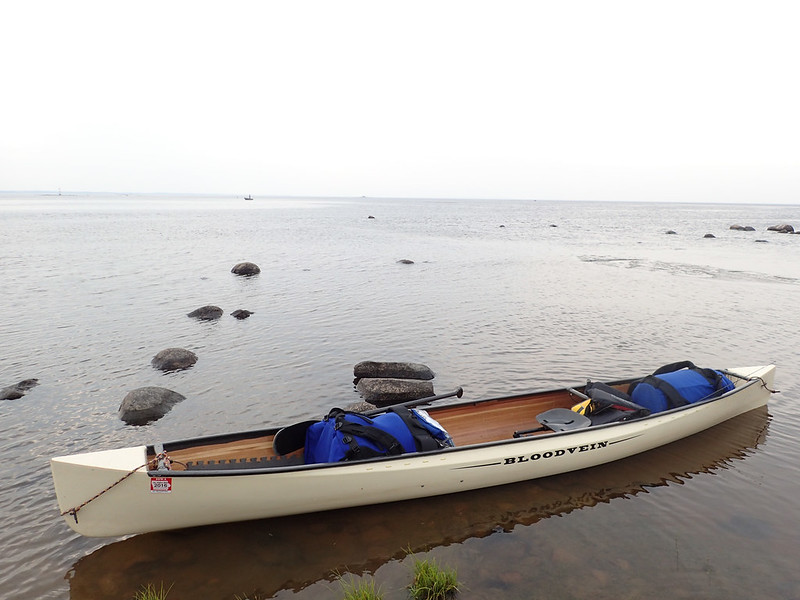
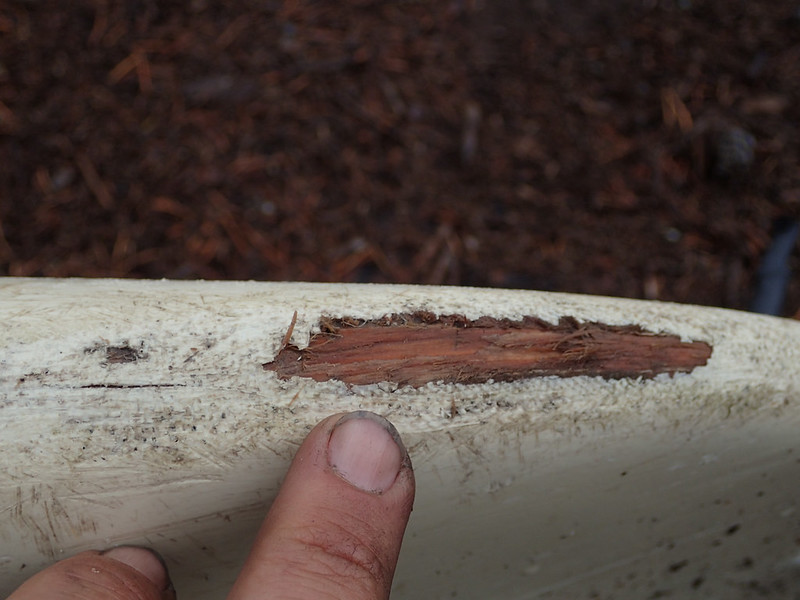
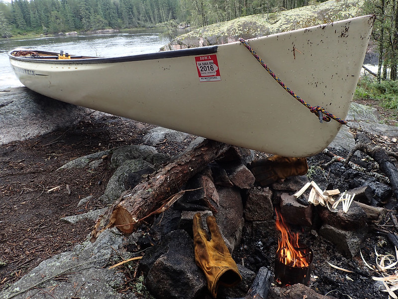
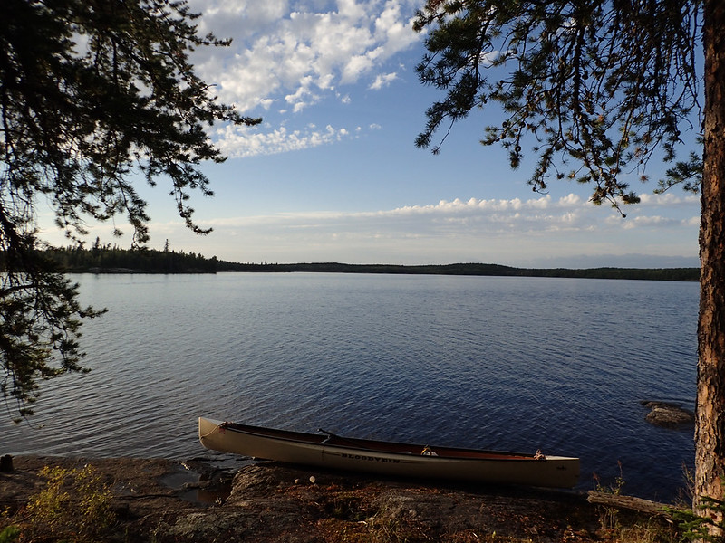
I wanted something that could handle rapids up to class II, track well for lake travel, carry a month's worth of gear and food, have good speed for upstream travel, and also have room for my constant travel companion: Sadie the wonder-dog. It was very challenging to come up with the design and it was the most complicated and expensive build I've done to date because I can't leave well enough alone and had to try and cut as much weight possible and keep it very strong. In the end I came up with something I thought would fit the bill and after test paddling it over the summer felt pretty confident in its capabilities as we headed north. The entire build thread can be found here: http://www.canoetripping.net/forums...g-discussions/diy/25183-solo-expedition-build.
Something I think should be essential in any river related trip report, but that I never found in anyone's, is the river's gauge reading and a description of the river at that time. Here is a screen capture of the Bloodvein gauge that covers the dates I was on the water (Aug.16-Sept.15):
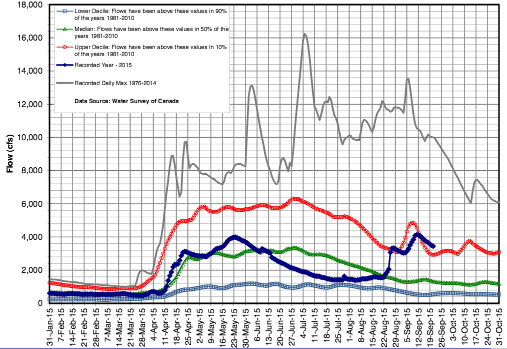 Bvein_streamflow by Alan, on Flickr
The solid dark blue line is the actual stream flow, the green line is the average, the red line is the upper 90th percentile and the light blue is the lower 90th percentile. As you can see the level kept dropping throughout the summer and was a good deal below the average and getting close to the lower 90th percentile. When I left to head up north it was running about 1450 cfs.
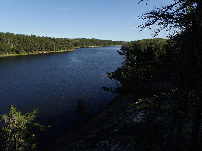
This had me quite worried that I'd be running into long stretches of shallow water which are a real pain in the butt for upstream travel. Turns out that wasn't an issue at all. I've never paddled a river like this and while I can see how high or low water levels would have an effect on the rapids (runnable rapids turn into unrunnable ledges in low water) it doesn't look like it makes much difference in between them. Nowhere did I see any sign of shallow water between sets of rapids.
I was very surprised to get home and look up the historical flow for the time I was on the water to see that it suddenly jumped up to 3200 cfs after about a week on the water and then another jump to over 4000 cfs towards the end of the trip. The first jump would coincide with the 3 days I was pinned down by wind and rain on Stonehouse Lake. The second jump would coincide with what seemed like a solid week of rain towards the end of the trip. I saw no indications the river was rising nor did I ever feel like I was paddling in high water even though after the first jump the flow was well above normal and right around the top 90th percentile. By the time it jumped the second time, to over 4000 cfs, I was pretty much off the river proper and back into lake country.
Despite these higher than normal water levels the speed of the current remained sedate between the rapids. I brought along a GPS to check the speed of the current but most of the time it was too low to record a reading. My GPS doesn't give a speed until it reaches 1mph, then it reads in 1/10th of a mph increments. The only times I could get it to record 1mph or higher was near the bottom of rapids or light swifts. For the most part I'd estimate the speed to be about .5mph. So don't expect to just float along without doing any work.
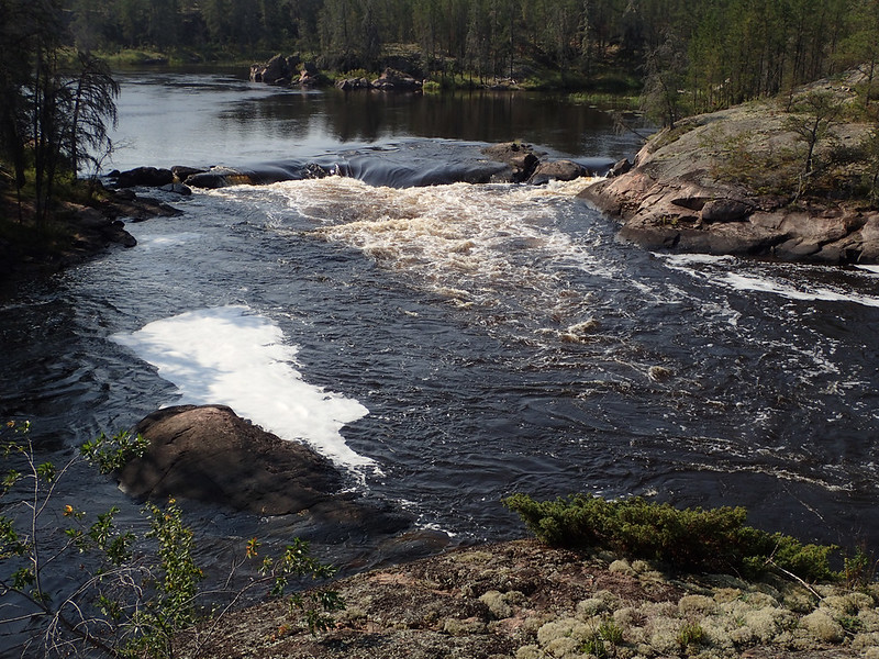
Upstream travel wasn't difficult with the exception of LOTS of portaging around rapids. I found that many weren't lineable, at least at my weak skill level. The rapids seem to be short and steep rather than longer and shallower. Most don't have any shallow water along the edges to walk through or suitable shorelines for walking when lining. But many times you can paddle past the portage landings to just above or below the rapids for a quick lift over rather than the full portage. Better be sure of your boat handling skills though as many times you're just a few feet from the start of the rapids.
Paddling up swifts got annoying at times but they were also a fun challenge and it was a rewarding feeling to make it up those small drops without having to portage or line.
There was a lot of internal debate about whether I should start at the top of the river and paddle downstream first or start at the bottom and do the upstream leg first. Starting on the downstream side has the obvious benefit that, should something go wrong, you only have to turn around and go back with the current. Starting on the upstream side has the advantage of keeping you from bailing out should the going get tough for a few days. Once you've reached Lake Winnipeg there's nothing to do but do it. I kind of liked that. Incidentally, "nothing to do but do it," was my mantra for the trip.
I came up with many other reasons in favor of and against each starting point but the real deciding factor in the end was logistics. Starting in Red Lake made it easy to meet up with Harlan to arrange a food drop at 30 days and then I could drive to the Johnson Lake parking area and leave my car without any worries.
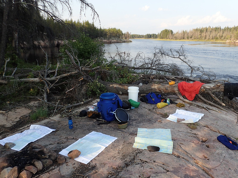
In hindsight it was absolutely the right decision but not for the reasons I'd imagined. After seeing Bloodvein Village I have no doubt I could have found a place to comfortably leave my car parked for 30 days but if I'd started at Bloodvein Village and headed upstream the numerous portages around rapids with full food pack would have been physically and mentally exhausting at the start of the trip. There was a lot of portaging in the first few days anyway, especially the mucky slog into Knox Lake, but they were all expected and easy to mentally prepare for. The two weeks it took to get downstream was good physical conditioning for the trip back up and it got me into the portaging rhythm on the river. I either remembered where the portage landings were on the rapids I'd already portaged or I knew where to expect the portages to be on the ones I'd run on the way down. The portages are well marked and easy to find heading downstream, not so when going up; especially around the numerous class I's that are not paddleable going upstream but that nearly everyone runs going down.
Ok, that should about do it for tonight. I'll try and have some pretty pictures for the next one.
Alan
I've got a lot of photos and videos that still need to be edited and put together so the entire report will probably come in fits and starts. Tonight I'll try and get the dry part out of the way.
I'd never heard of the Bloodvein River until a few years ago when someone mentioned a river that starts in WCPP and runs a couple hundred miles to Lake Winnipeg with no roads or bridges leading to it for the entire length. That doesn't seem to be an easy thing to find in a river that's still reasonably accessible without the use of a float plane. I could drive to a put-in just outside WCPP and with just a few days paddling be on the Bloodvein. How to get back to the car was the big question. Being a tight arse and preferring to do things on my own I didn't like the idea of hiring a float plane and wondered how long it would take to paddle back upstream. Could I do it in a month? It would mean taking time off work without pay because of the extra paddling time but I'd still be money ahead over paying $1800 for a plane flight plus the added value of spending an extra couple weeks on the water. I thought about it pretty seriously for a while but then gave up the idea as nothing but a daydream because of the time and logistics that would be involved. Then last winter I watched Beav's video on his 6 month trip from Seattle to, through, and around Alaska and figured if he could do something as crazy as that I should be able to paddle down and back up the Bloodvein. So I decided I was going to do it and set out to design and build a canoe for the task.
I wanted something that could handle rapids up to class II, track well for lake travel, carry a month's worth of gear and food, have good speed for upstream travel, and also have room for my constant travel companion: Sadie the wonder-dog. It was very challenging to come up with the design and it was the most complicated and expensive build I've done to date because I can't leave well enough alone and had to try and cut as much weight possible and keep it very strong. In the end I came up with something I thought would fit the bill and after test paddling it over the summer felt pretty confident in its capabilities as we headed north. The entire build thread can be found here: http://www.canoetripping.net/forums...g-discussions/diy/25183-solo-expedition-build.
Something I think should be essential in any river related trip report, but that I never found in anyone's, is the river's gauge reading and a description of the river at that time. Here is a screen capture of the Bloodvein gauge that covers the dates I was on the water (Aug.16-Sept.15):
Bvein_streamflow by Alan, on FlickrThe solid dark blue line is the actual stream flow, the green line is the average, the red line is the upper 90th percentile and the light blue is the lower 90th percentile. As you can see the level kept dropping throughout the summer and was a good deal below the average and getting close to the lower 90th percentile. When I left to head up north it was running about 1450 cfs.
This had me quite worried that I'd be running into long stretches of shallow water which are a real pain in the butt for upstream travel. Turns out that wasn't an issue at all. I've never paddled a river like this and while I can see how high or low water levels would have an effect on the rapids (runnable rapids turn into unrunnable ledges in low water) it doesn't look like it makes much difference in between them. Nowhere did I see any sign of shallow water between sets of rapids.
I was very surprised to get home and look up the historical flow for the time I was on the water to see that it suddenly jumped up to 3200 cfs after about a week on the water and then another jump to over 4000 cfs towards the end of the trip. The first jump would coincide with the 3 days I was pinned down by wind and rain on Stonehouse Lake. The second jump would coincide with what seemed like a solid week of rain towards the end of the trip. I saw no indications the river was rising nor did I ever feel like I was paddling in high water even though after the first jump the flow was well above normal and right around the top 90th percentile. By the time it jumped the second time, to over 4000 cfs, I was pretty much off the river proper and back into lake country.
Despite these higher than normal water levels the speed of the current remained sedate between the rapids. I brought along a GPS to check the speed of the current but most of the time it was too low to record a reading. My GPS doesn't give a speed until it reaches 1mph, then it reads in 1/10th of a mph increments. The only times I could get it to record 1mph or higher was near the bottom of rapids or light swifts. For the most part I'd estimate the speed to be about .5mph. So don't expect to just float along without doing any work.
Upstream travel wasn't difficult with the exception of LOTS of portaging around rapids. I found that many weren't lineable, at least at my weak skill level. The rapids seem to be short and steep rather than longer and shallower. Most don't have any shallow water along the edges to walk through or suitable shorelines for walking when lining. But many times you can paddle past the portage landings to just above or below the rapids for a quick lift over rather than the full portage. Better be sure of your boat handling skills though as many times you're just a few feet from the start of the rapids.
Paddling up swifts got annoying at times but they were also a fun challenge and it was a rewarding feeling to make it up those small drops without having to portage or line.
There was a lot of internal debate about whether I should start at the top of the river and paddle downstream first or start at the bottom and do the upstream leg first. Starting on the downstream side has the obvious benefit that, should something go wrong, you only have to turn around and go back with the current. Starting on the upstream side has the advantage of keeping you from bailing out should the going get tough for a few days. Once you've reached Lake Winnipeg there's nothing to do but do it. I kind of liked that. Incidentally, "nothing to do but do it," was my mantra for the trip.
I came up with many other reasons in favor of and against each starting point but the real deciding factor in the end was logistics. Starting in Red Lake made it easy to meet up with Harlan to arrange a food drop at 30 days and then I could drive to the Johnson Lake parking area and leave my car without any worries.
In hindsight it was absolutely the right decision but not for the reasons I'd imagined. After seeing Bloodvein Village I have no doubt I could have found a place to comfortably leave my car parked for 30 days but if I'd started at Bloodvein Village and headed upstream the numerous portages around rapids with full food pack would have been physically and mentally exhausting at the start of the trip. There was a lot of portaging in the first few days anyway, especially the mucky slog into Knox Lake, but they were all expected and easy to mentally prepare for. The two weeks it took to get downstream was good physical conditioning for the trip back up and it got me into the portaging rhythm on the river. I either remembered where the portage landings were on the rapids I'd already portaged or I knew where to expect the portages to be on the ones I'd run on the way down. The portages are well marked and easy to find heading downstream, not so when going up; especially around the numerous class I's that are not paddleable going upstream but that nearly everyone runs going down.
Ok, that should about do it for tonight. I'll try and have some pretty pictures for the next one.
Alan