• Happy Winter Solstice! 🌇🌃

ADK paddling

  • Thread starter Thread starter Guest
  • Start date Start date
That view is exactly what I’m looking forward to, as well as swimming and exploring. I don’t have my map/book yet, so Shingle Shanty is still a bit of a mystery to me. Is it a section of privately owned stream course that we’d need to carry around? I also read that the same situation might hold for the Beaver R? Until I read that, I had also considered a route from Lila down through Nehanse to (is it) Raquette and back. Is Beaver R. boney in September or impassable? We don’t mind lining or wading. Is there a private property issue? Do I even have my names right?
I think I’ll print off a topo tonight just to try to put it all together. I was gazing at a route (don’t remember which) online and saw what might be a beautiful spot – Grassy Pond? It was a small lake snuggled amongst some tall peaks. My wife and I are leaning more towards “canoe tourists” than “canoe trippers”. We’ll be so sore from rubber necking while paddling, we’ll need physio when we get home.
 
Brad go over to www.adkforum.com

http://www.adkforum.com/showthread.php?t=18231&highlight=shingle+shanty

There are so many threads that this one is probably the most germane.

The portages between Little Tupper and Lila are not quite a walk in the park. There is some deep looncrap on them.

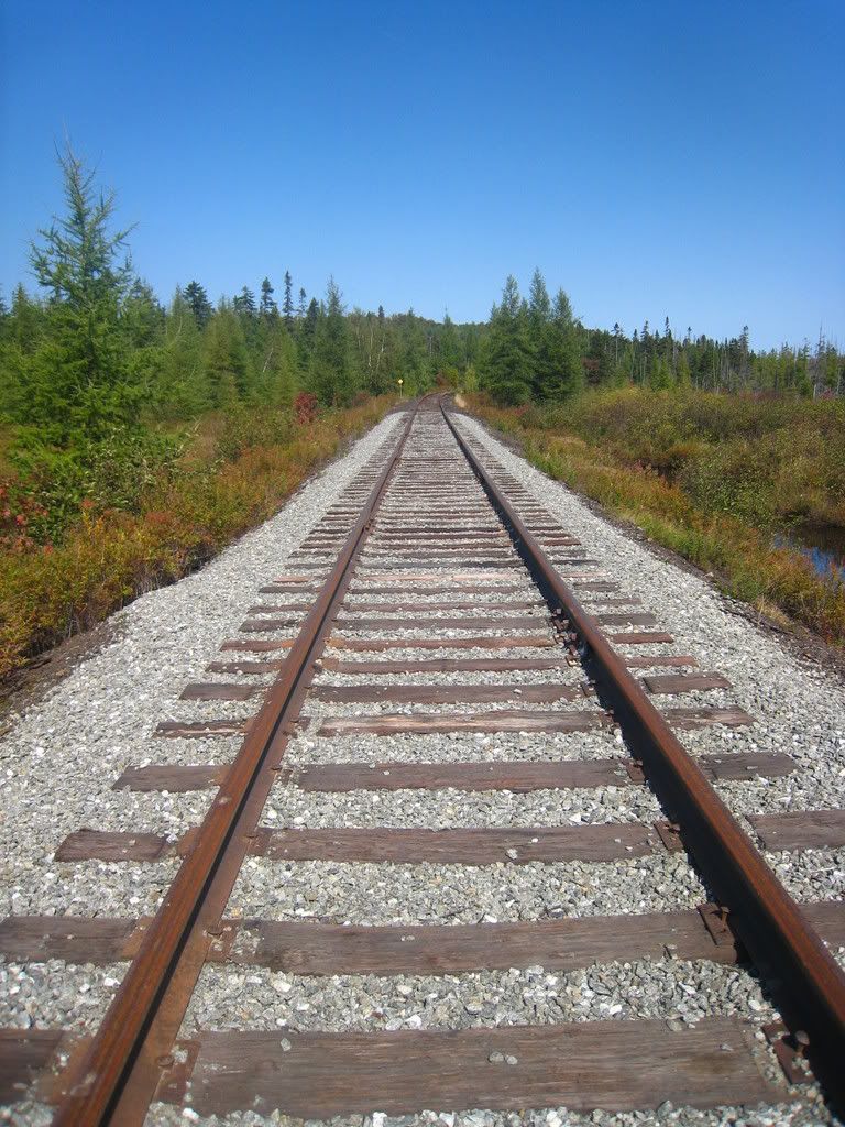
You can also camp on Lila, carry up Harrington Brook, paddle a bit then off or 1.25 miles on old railroad tracks and woods road to I think Clear Pond . then another short portage to Lows Lake. That series of portages is doable in a day. Lows is good for three or four days and has quite a bit of hiking too.

 
Maybe I ‘m guilty of boggy bravado, having never schlepped through much of it before. I would pay the gas $ just to get a photo of my wife deep in looncrap. I’d likely pay for it for a long time. Lila to Lows does look good as well. Grass Pond on the north side of Lows intrigues me. A railroad portage would be memorable. If there are rambles (not scrambles) up to summits, that would suit us.
As can be expected, I try to weigh differing opinions on the other forum regarding “people density” on routes. There seems to be love/hate for some lakes like Lows, L.Tupper, and Lila. In Algonquin PP the same occurs. Some people turn up their noses at the place (and crowded ports do try my patience), but we’ve camped on the busiest lakes/busiest routes/during the busiest season and reveled in the beauty and solitude. A postcard campsite on a pretty point or sheltered bay is still perfect, after the canoe brigades have clattered by. We’re not coming to ADK to judge it, only to humbly admire it.
 
Thanks for the link to the Shingle Shanty court case YC. I read some of the same issues on the UK paddle site, as well as on the Guardian newspaper website. England has a complex twist added, as their Tory gov’t minister attached to lands and environment clearly ignores statutes affirming navigation rights. Recently here in Canada, our own Tory gov’t “streamlined” (removed) a legislative layer of environmental protection of navigable waterways. Many people here are concerned about increased developmental pressures (roads, pipelines, hydro-line corridors), while I’m also wondering what the long-term impact might be regarding public access on Crown Land.
 
That view is exactly what I’m looking forward to, as well as swimming and exploring. I don’t have my map/book yet, so Shingle Shanty is still a bit of a mystery to me. Is it a section of privately owned stream course that we’d need to carry around? I also read that the same situation might hold for the Beaver R? Until I read that, I had also considered a route from Lila down through Nehanse to (is it) Raquette and back. Is Beaver R. boney in September or impassable? We don’t mind lining or wading. Is there a private property issue? Do I even have my names right?
I think I’ll print off a topo tonight just to try to put it all together. I was gazing at a route (don’t remember which) online and saw what might be a beautiful spot – Grassy Pond? It was a small lake snuggled amongst some tall peaks. My wife and I are leaning more towards “canoe tourists” than “canoe trippers”. We’ll be so sore from rubber necking while paddling, we’ll need physio when we get home.

Brad,

You probably have already read about the Shingle Shanty...to summarize, there is a section of navigable water in private ownership. That section was normally carried around, but now can be paddled, respectfully. The Beaver River eventually leads to Stillwater Resevoir, that privately owned section of the Beaver is fiercely protected by the owners. And Stillwater is big water, and the distances from put in (assuming a Lila start) are great by car, it's a long way around for a bike shuttle.
I have a trip planned for this coming weekend from Lila to the Bog River Flow passing through Low's...our trip may need to be postponed due to seasonal road access...no such problems for you in the fall though! That trip is a bargain by Adirondack standards, about 19 miles of paddling with just 1.5 miles of carry. And the start and end points are within a bike ride of each other.
Low's has Grass Pond Mt just to the N, it has rocky outcroppings and good views, no formal or maintained trail. A little farther downstream is Hitchins Ridge, another rocky outcropping, but with a maintained and marked trail.

Where ever our group ends up this weekend, I'll post a short trip report and some photos to further distract you...
 
It's looking like I'll be doing the Whitney Loop starting on Friday. Looking forward to it. September/October is my favorite time as well. I go up for an annual canoe trip every Fall, usually between Early bear season and start of Deer season.
 
Have a good trip Waterdog. Is there hunting in ADK? I don’t hunt, but I am a carnivore. Do you hunt? If so, I hope you bag your bear in the fall.
I’m looking forward to being distracted Stripperguy. (Boy does that sound weird) I’ve just been browsing mytopo (I wish I could print topo rather than the map layer) and realize I’ve been misnaming ponds all over the place. Sorry about that everyone.
Although we cycle most evenings throughout the summer, I’m not too keen to add a cycle shuttle to our itinerary. It does sound like a great way to complete a loop though. Can you paddle the Bog R. all the way to Tupper?
Have an enjoyable weekend Strip.
 
It's looking like I'll be doing the Whitney Loop starting on Friday. Looking forward to it. September/October is my favorite time as well. I go up for an annual canoe trip every Fall, usually between Early bear season and start of Deer season.

Hey Waterdog,
Did you contact the ranger for that area? I called on 4-20-13 and there was still 1 foot of snow on the Lila access road, with no opening date in sight. I can post the link to the ranger contact when I get home...I'd hate to see you get a 5.5 mile carry surprise upon arrival at Lila.

Have a good trip Waterdog. Is there hunting in ADK? I don’t hunt, but I am a carnivore. Do you hunt? If so, I hope you bag your bear in the fall.
I’m looking forward to being distracted Stripperguy. (Boy does that sound weird) I’ve just been browsing mytopo (I wish I could print topo rather than the map layer) and realize I’ve been misnaming ponds all over the place. Sorry about that everyone.
Although we cycle most evenings throughout the summer, I’m not too keen to add a cycle shuttle to our itinerary. It does sound like a great way to complete a loop though. Can you paddle the Bog R. all the way to Tupper?
Have an enjoyable weekend Strip.

Bog River can be paddled, mostly, all the way to Tupper Lake. There are a number of class II rapids and a class III sluice between sheer walls. The carries are not marked, nor maintained, but are pretty obvious. If you have purchased Dave Cilley's book and/or map, the Bog is described well in there. It is a wild experience, in every sense. The Bog from the Flow to Tupper is strictly a one way downstream only trip. it should have sufficient water to cover the bony stuff in all but the driest years. There is plenty of camping nearby, and the lower Bog can easily be a day trip.
 
Brad,
Yes there’s hunting in the ADK, but I don’t hunt anymore. I can say that by the time I usually go in mid October, the leaves are often completely stripped from the trees and the weather is volatile, but you can still get nice weather. If I’m alone that suits me, but often if I’m with someone else, mid to late September seems to work better and there’s still color on the trees.
Stripperguy,
That’s interesting news. I haven’t discussed with the Ranger. I described my trip to an Outfitter and was told the lakes are open. I did ask for an update earlier this evening so maybe things have changed. My intention is to leave from Whitney Headquarters and do the whole loop. I’m assuming that the Sabattis Rd is open to the headquarters? I was planning on opting out of the Bog River section if the black flies got heavy. I was told that section would be bad if the flies were out and I’m looking at my dog’s best interest. That would be a shuttle issue though if the gate to Low’s Dam parking area is closed. Sorry but my Enter Button doesn't work on this webpage today.
 
Brad,

You probably have already read about the Shingle Shanty...to summarize, there is a section of navigable water in private ownership. That section was normally carried around, but now can be paddled, respectfully. The Beaver River eventually leads to Stillwater Resevoir, that privately owned section of the Beaver is fiercely protected by the owners. And Stillwater is big water, and the distances from put in (assuming a Lila start) are great by car, it's a long way around for a bike shuttle.
You should know that the chapter on Shingle Shanty is not yet confirmed. The landowners have appealed the court decision, so if you decide to go, know that and proceed with that knowledge that it is not yet over and you could be confronted. I will second another landowner's fierce protection of the Beaver River from Nehasane Lake downstream to Stillwater. Even if you decide to attempt it, it will either offer a wild ride (in spring high water), or a very bony ride (in summer water). Stillwater Reservoir is a large lake with many beautiful campsites on sandy shores. However, since its long axis is aligned with the prevailing winds with no mountains to the west, it can at times be a difficult and dangerous water to paddle. Not that I haven't been paddling there many dozens of times and claim that area and lands north as my stomping grounds. :rolleyes:

http://www.adirondackalmanack.com/2013/04/landowners-will-appeal-shingle-shanty-paddling-case.html

http://www.adirondackdailyenterprise.com/page/content.detail/id/536319/
 
Last edited:
I’ve just been browsing mytopo (I wish I could print topo rather than the map layer) and realize I’ve been misnaming ponds all over the place.

You can always hit "print screen" and paste into a powerpoint slide... not the same, but it works.
 
Thanks for the links Yukon, the second article was interesting, regarding the question “what is considered commercial navigation”. I don’t mean to open any wounds here. I can really see both sides of this. So much hinges on mutual respect, and it only takes one disrespectful incident to tear it all down. I’m giving any contentious issues a wide berth, especially as a visitor to your neighbourhood.
The advice on the foliage timing is helpful Waterdog, we’re hoping to be surrounded by a big show in September.
 
You should know that the chapter on Shingle Shanty is not yet confirmed. The landowners have appealed the court decision, so if you decide to go, know that and proceed with that knowledge that it is not yet over and you could be confronted. I will second another landowner's fierce protection of the Beaver River from Nehasane Lake downstream to Stillwater. Even if you decide to attempt it, it will either offer a wild ride (in spring high water), or a very bony ride (in summer water). Stillwater Reservoir is a large lake with many beautiful campsites on sandy shores. However, since its long axis is aligned with the prevailing winds with no mountains to the west, it can at times be a difficult and dangerous water to paddle. Not that I haven't been paddling there many dozens of times and claim that area and lands north as my stomping grounds. :rolleyes:

http://www.adirondackalmanack.com/2013/04/landowners-will-appeal-shingle-shanty-paddling-case.html

http://www.adirondackdailyenterprise.com/page/content.detail/id/536319/

yknpdlr,

Taken directly from the Adirondack Almanac article...

"State Supreme Court Justice Richard T. Aulisi ruled in February that the route is navigable-in-fact, meaning that it is open to paddlers under the common-law public right of navigation.Last week, as part of the final order implementing his decision, Aulisi barred the landowners from replacing their recently removed “no trespassing” signs and cables blocking traffic from the waterway, declaring them a public nuisance.
As a result of Aulisi’s ruling, Caffry said, the waterway will be open to the public this spring unless the plaintiffs obtain a stay of the decision."

There may be some hard feelings on the part of the landowners (I can certainly understand that)...but the ruling from the State Supreme Court is very clear. I have heard no reports of a stay of the decision, have you?
Nothing more than the fact that the landowners plan to appeal to the state Court of Appeals, which does have the power to overturn the ruling. However they failed to do so on the Moose River case, and from all indications are not likely to do so here either.

As reported in Phil Brown's own April 15th article:
http://www.adirondackexplorer.org/stories/2013/04/15/a-victory-for-paddlers/
 
We might be decided on a Lila to Lows trip, with lots of time for hiking up some summits. Are trails marked on maps, and on the ground? Where is the ridge above Lows? Will we need to bushwhack?
 
We might be decided on a Lila to Lows trip, with lots of time for hiking up some summits. Are trails marked on maps, and on the ground? Where is the ridge above Lows? Will we need to bushwhack?
Depends on the map you have.... but it is an easy route from Lila, follow up Harrington Brook (initial carry will be easy to follow) to a short but pretty paddle at a rocky put-in on Harrington Pond to the RR. Follow the RR to obvious trail markers on left to Clear Pond, then to Bog Lake, then paddle all the way into Lows. As always, have and know how to use map and compass, even when trails are "obvious". The marked trail to Lows Ridge starts at the carry at the upper dam of Lows Lake. It is well marked. Look for carvings in the rock on the summit of names of Low's companions - can be hard to spot unless the light is right. A bushwhack up Grass Pond Mtn is also worth the trip.
 
Thanks yknpdlr, I couldn't see a trail for the Lows summits, your directions are helpful. The paddle routes won't be a problem.
 
Brad,

The description that yknpdlr gave you is for Hitchins ridge, near the upper dam. Grass pond mt is a bushwhack...

BTW, you'll enjoy that trip for sure.
 
I’m really looking forward to seeing those peaks looming over us, in a friendly sort of way. I only just figured out where the lower dam is last night (I don’t have my map & guide book yet). I know I’ll change my route plans several times this summer.
Although we’re not billygoats, the view from the peaks looks captivating. I’ll join the dacks forum this week, and post some more questions as I plan. Thanks Strip.
 
Back
Top