We started at Flamingo, up the Buttonwood Canal NW on the Joe River to South Joe Chickee first night, Oyster Bay chickee the second night. That was a chickee that was very poorly shielded from the elements. Would not want to be there in a wind.
the tide was always against us so it was hard paddling even in light wind.. Then when we got out to the Gulf not only was the wind against us the tide was too. It was a hard 15 miles from Oyster Bay to NW Cape.. Next morning we just did five miles to Middle Cape..again wind and tide was against us..Last night at East Cape.. which has extensive mud flats at low tide. We camped next to a river from Lake Ingraham with a remarkable scattering of dead sponges at the high high tide line.At low tide we were able to walk and line the boats out to some water depth that was paddleable. the last day against the wind and tide again back to Flamingo I was sure my arms were going to fall off.
Even with a tidal range of only three to four feet there is a lot of water moving in and out.. And the outlets of rivers with an outgoing tide and opposing wind make fearsome holes and sharp high breaking waves.
http://www.nps.gov/ever/upload/Wilde...anner_2009.pdf gives you an idea of the route we took. Not too long for six days.. maybe 60 miles in all. But the skies are so fantastic its well worth it.
The pictures are quite out of order. We had two nights on chickees before three beach nights. The noseeums and skeeters were far worse than I have ever seen in Ontario but not as bad as Newfoundland blackflies or Arctic skeeters.
Attachments
-
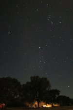 photo3848.jpg106.9 KB · Views: 0
 -
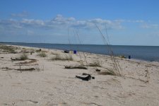 photo3849.jpg210.5 KB · Views: 0
 -
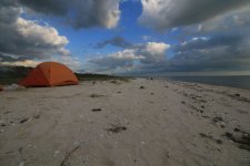 photo3850.jpg139.8 KB · Views: 0
 -
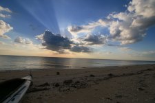 photo3851.jpg129.3 KB · Views: 0
 -
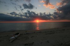 photo3852.jpg106.1 KB · Views: 0
 -
 photo3853.jpg71.1 KB · Views: 0
 -
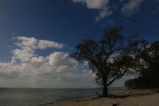 photo3854.jpg115.7 KB · Views: 0
 -
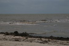 photo3855.jpg133 KB · Views: 0
 -
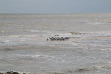 photo3856.jpg169.5 KB · Views: 0
 -
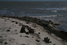 photo3857.jpg196.9 KB · Views: 0
 -
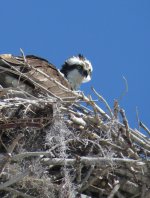 photo3858.jpg216.2 KB · Views: 0
 -
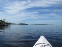 photo3859.jpg111.2 KB · Views: 0
 -
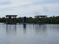 photo3860.jpg146.6 KB · Views: 0
 -
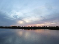 photo3861.jpg90.1 KB · Views: 0
 -
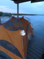 photo3862.jpg116.3 KB · Views: 0
 -
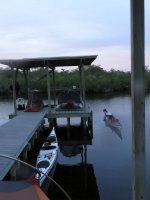 photo3863.jpg119.5 KB · Views: 0
 -
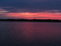 photo3864.jpg129.3 KB · Views: 0
 -
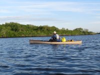 photo3865.jpg187.2 KB · Views: 0
 -
 photo3866.jpg150.8 KB · Views: 0
 -
 photo3867.jpg57.9 KB · Views: 0
 -
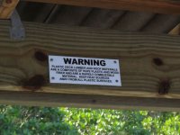 photo3868.jpg146 KB · Views: 0
 -
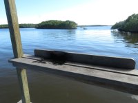 photo3869.jpg140.8 KB · Views: 0
 -
 photo3870.jpg175.1 KB · Views: 0
 -
 photo3871.jpg113.9 KB · Views: 0
 -
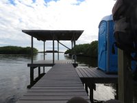 photo3872.jpg138.6 KB · Views: 0
 -
 photo3873.jpg274.4 KB · Views: 0
 -
 photo3874.jpg241.8 KB · Views: 0
 -
 photo3875.jpg246.3 KB · Views: 0
 -
 photo3876.jpg100.2 KB · Views: 0
 -
 photo3877.jpg187.5 KB · Views: 0

