ELA Trip Report Day 1
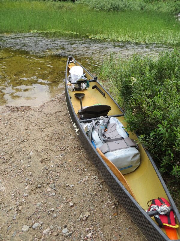
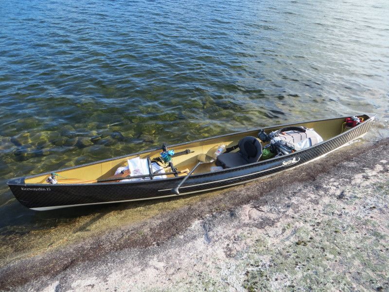
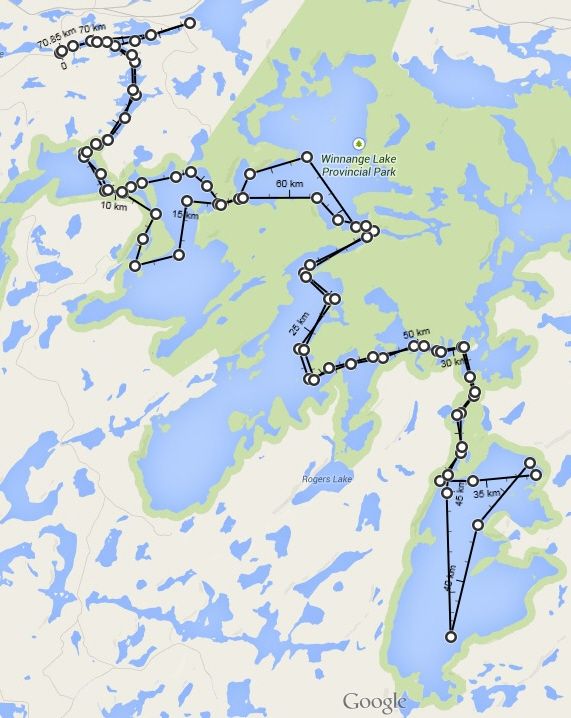
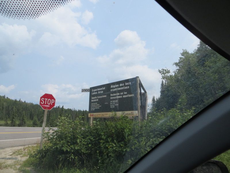
August Long Weekend plus a day, ELA time! This time from the Winnange Lake park area. Took HWY 17 east of hwy 71 by 42 km and turned down a small access gravel road to get the west most finger of Stewart Lake. 50m port from the truck to the creek and we are in business! 71km of paddling and 115lbs of gear and boat will not help on the 6520m of overland travel but such is life!
Day 1
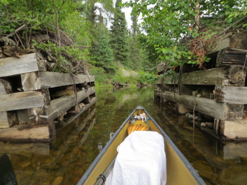
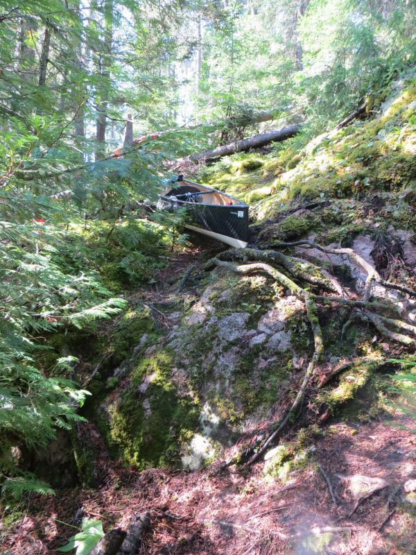
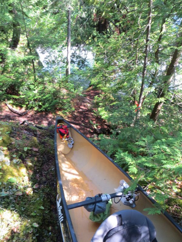
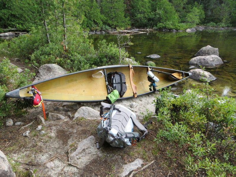
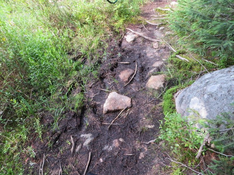
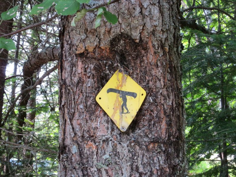
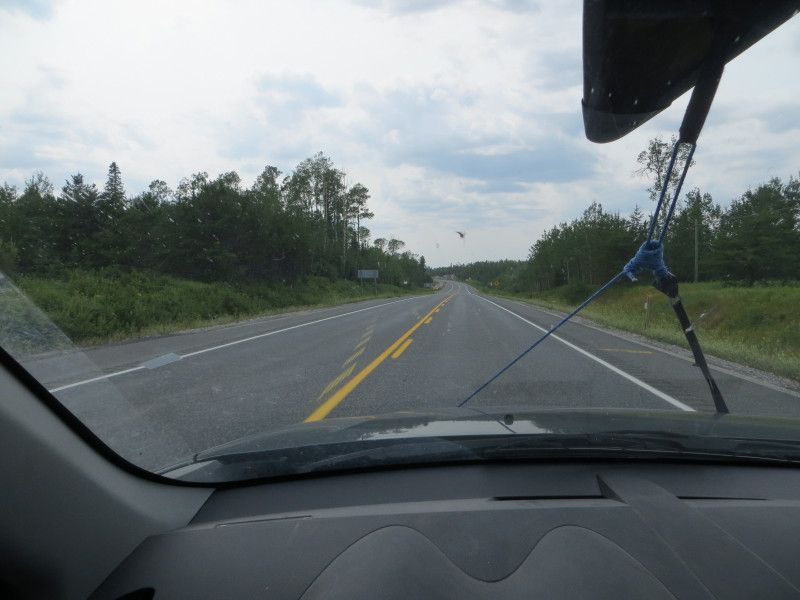
First day started with rain and a nice long highway drive from Winnipeg. After checking out the Upper Stewart lake connection and wood bridge remnants it was time to head for the Geejay Lake port. At 270m was fairly nice except for the rock garden at the other side. Ran into a family at the start of the port but I quickly got my canoe out of the way to allow for the loading of all of there gear and kids etc. Was happy I was going lighter than that! 2x on the port though, I like the single carry better! Lol
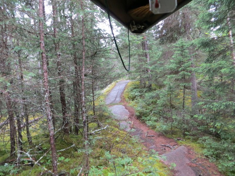
From Geejay went across the lake directly on to the Manomin Lake Port. At 323m another nice one. But then the rain hit and soaked down the rock trail. Glad I did not slip/slide down any rock slopes! Tired after running this one twice. A nice set of cabins on this lake, was surprised to see them there.
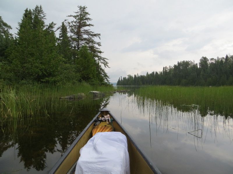
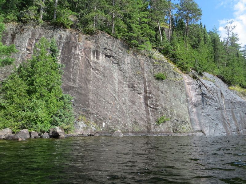
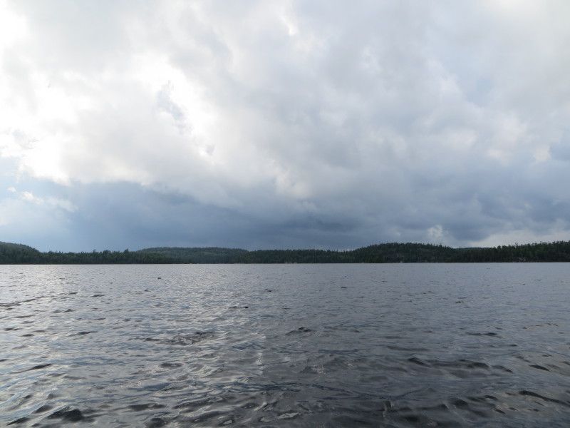
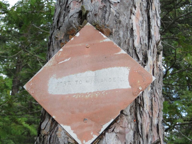
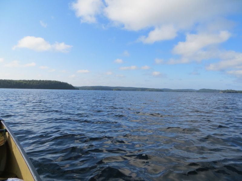
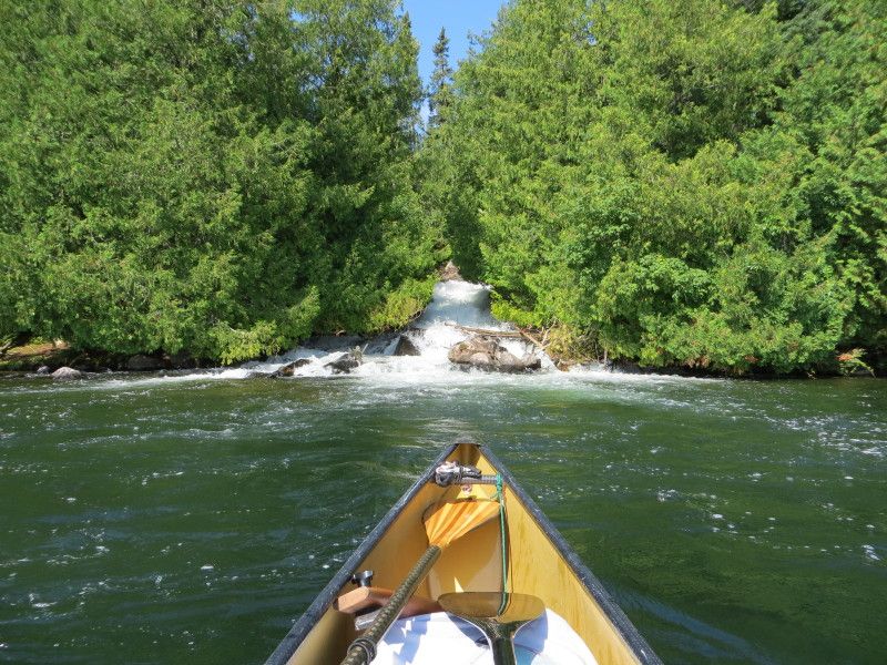
Now on Manomin Lake I did a little sight seeing around the larger islands and then took off across to the lake towards the Winnange Lake port. Some nice rock cliffs on this lake. The port was 438m and was huffing at the end of the 2nd run. Another rain storm just missed me for the most part and I got just a light dusting.
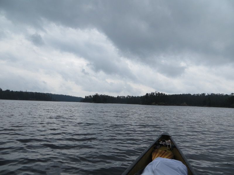
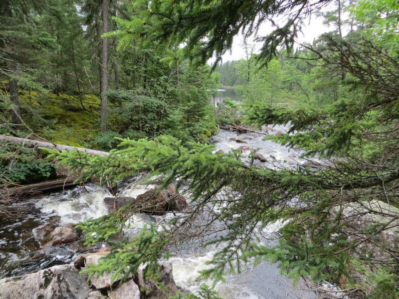
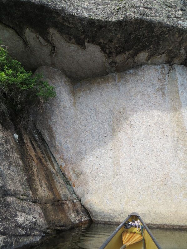
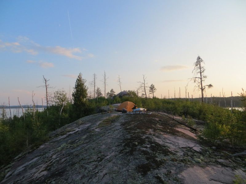
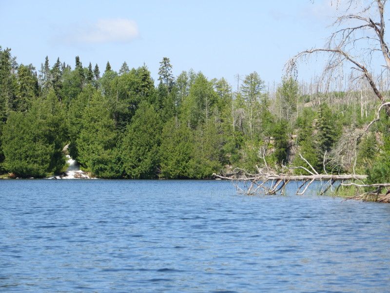
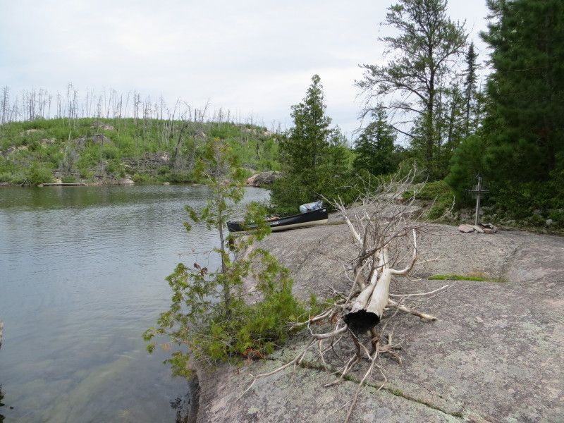
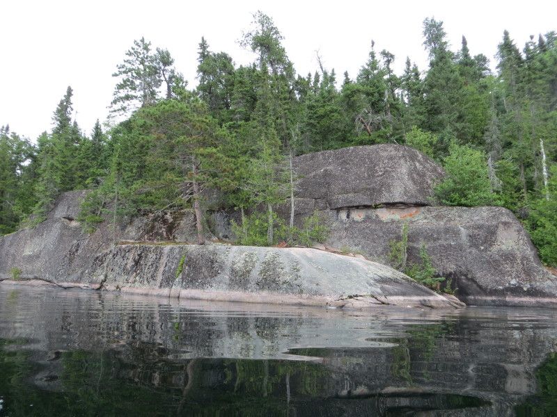
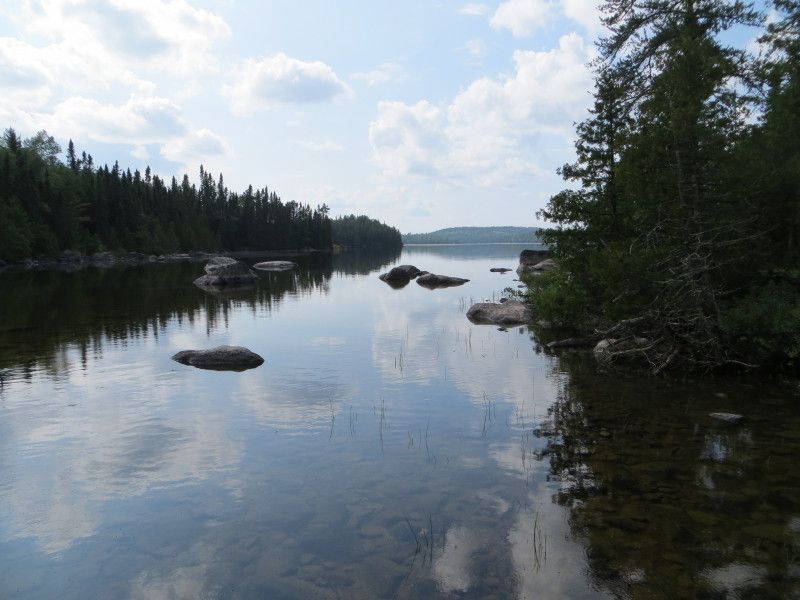
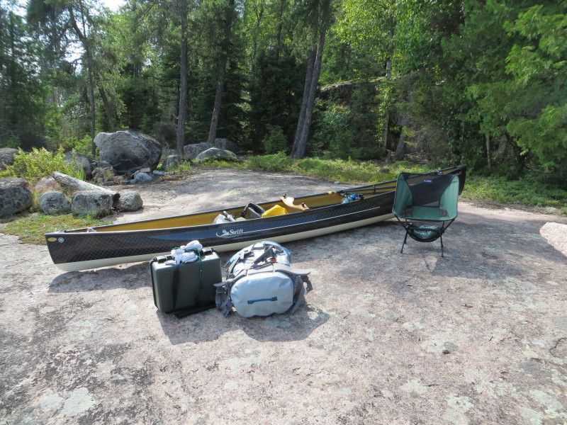
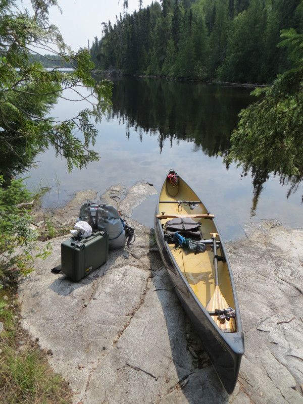
On Winnange Lake I took a detour over to the main cliff face on the north side of the port area and started looking for any markings on the rocks etc. Found a cool ledge partially submerged at the cliff face and had a walk around. Then time to jump south past Jackfish bay towards the southern parts. Found a nice little rock ledge and had me a campsite for the night. At 24km of paddling and 3243m of port carries it was time for dinner and a snooze.
And now some pictures....
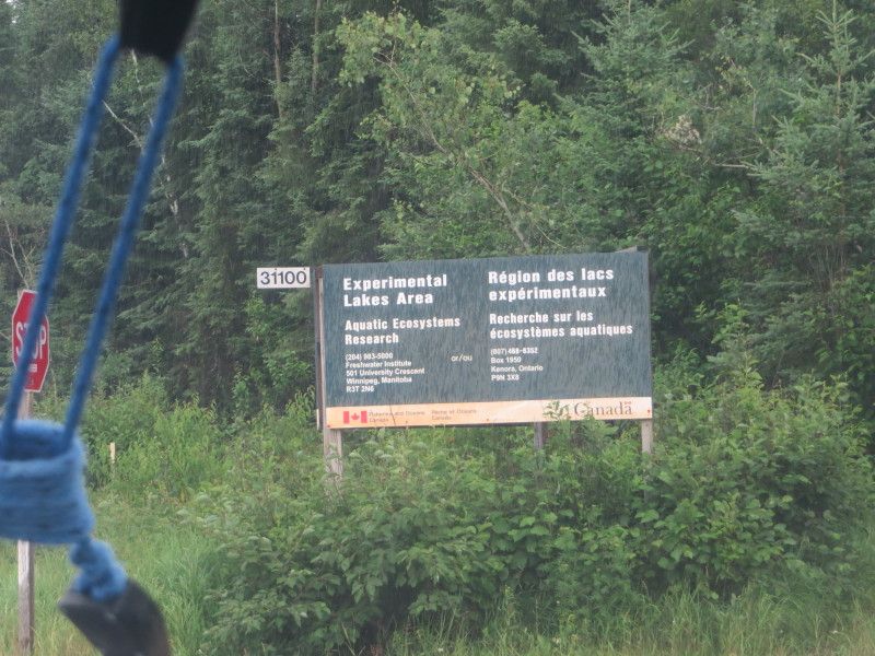
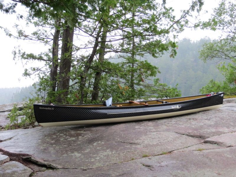
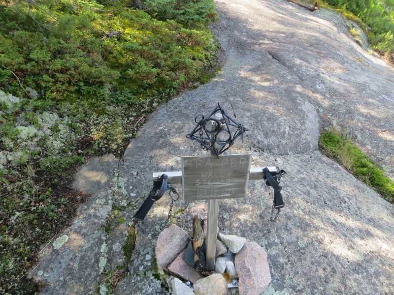
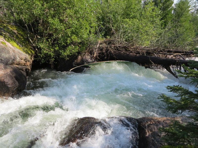
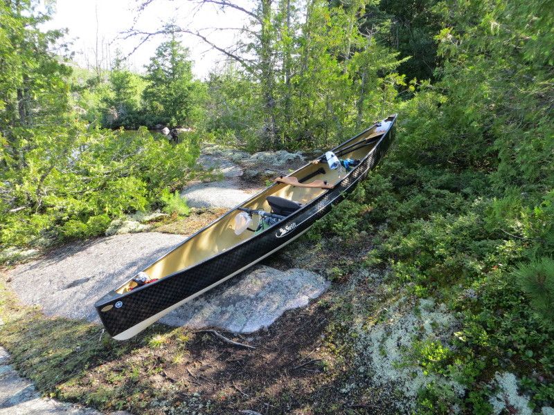
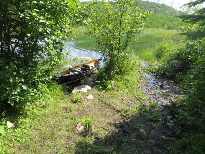
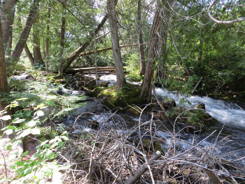
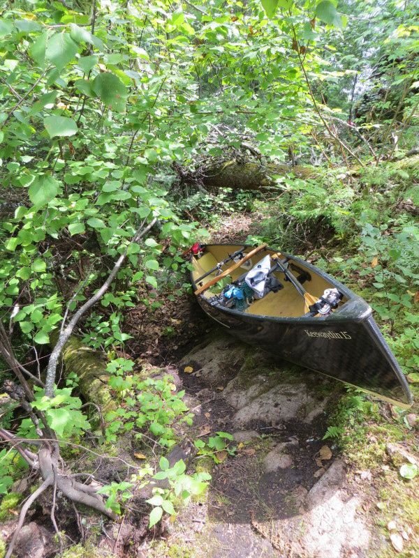
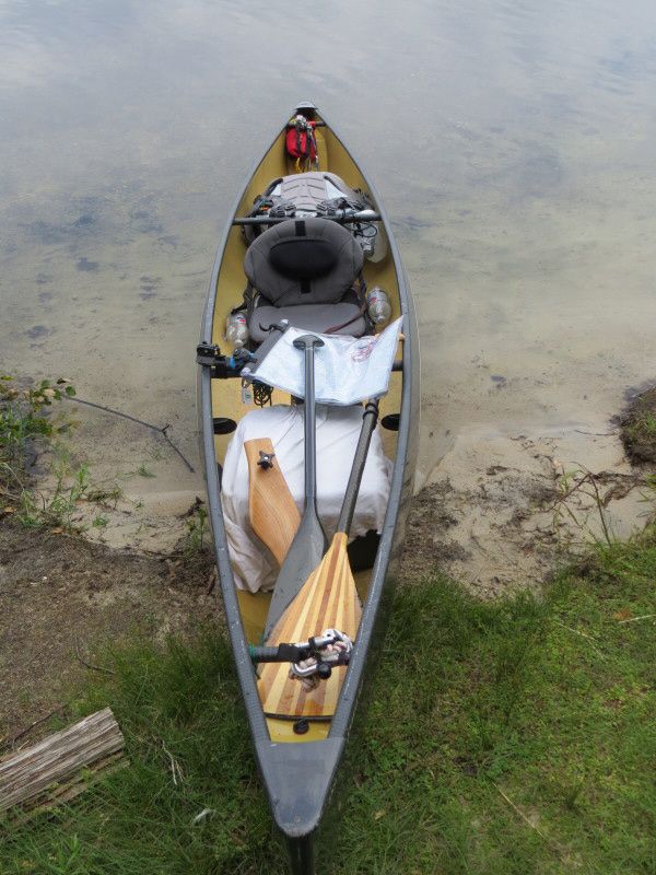
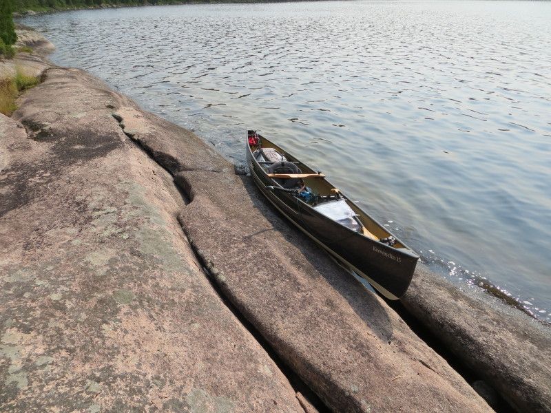
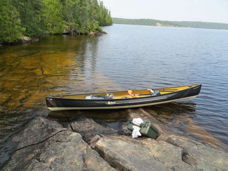
Starting point
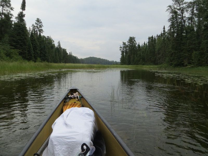
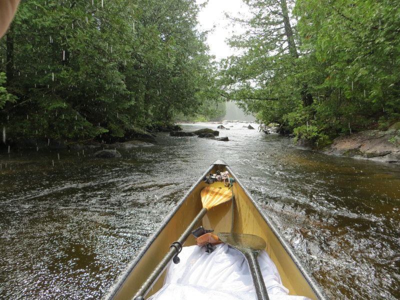
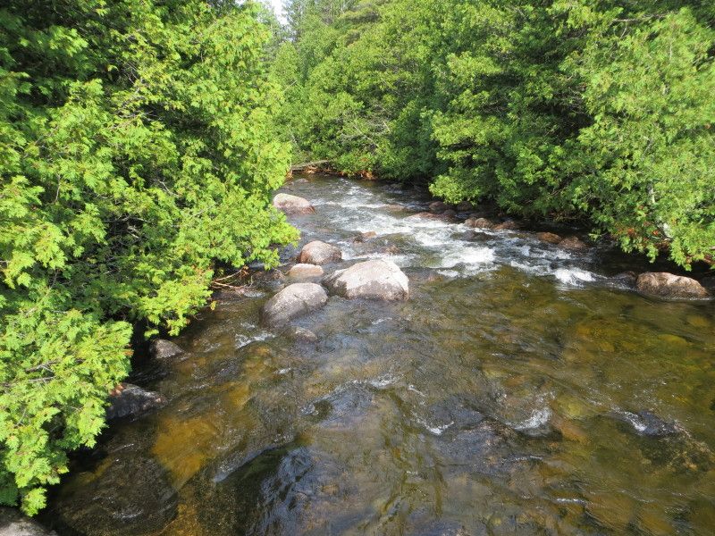
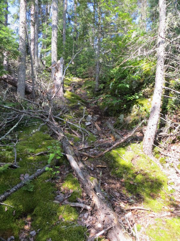
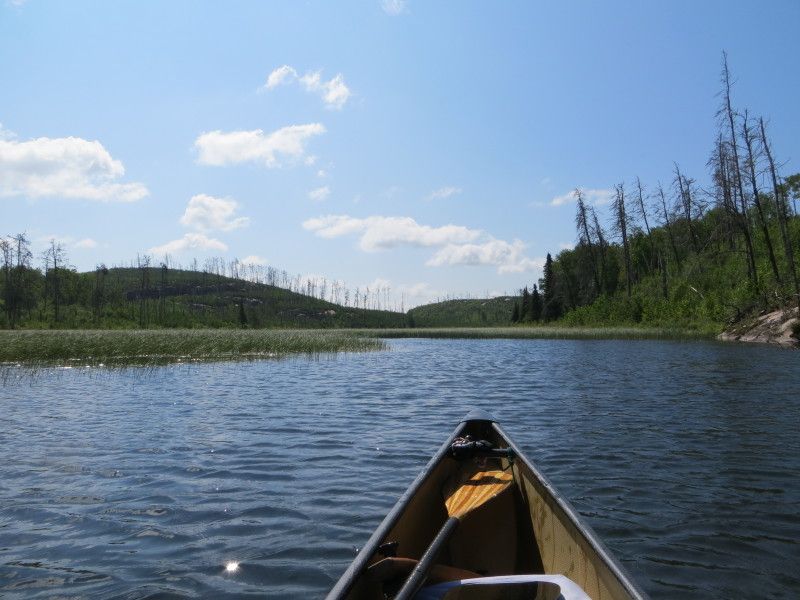
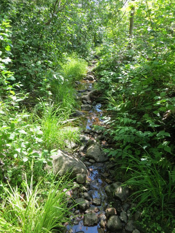
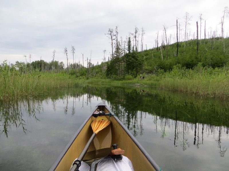
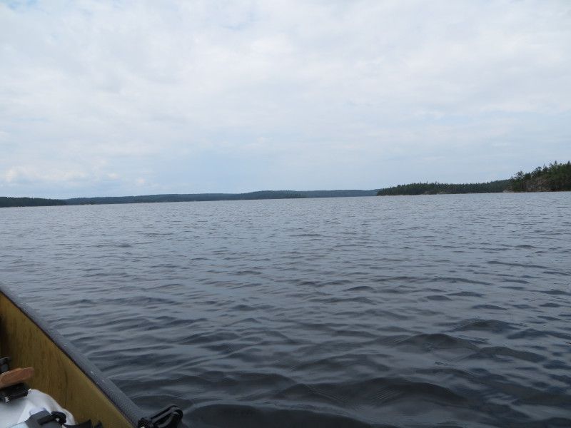
Stewart Lake heading towards Upper Stewart
The old wood bridge remants and the Upper Stewart Lake starting point
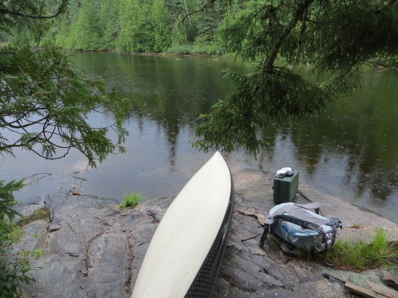
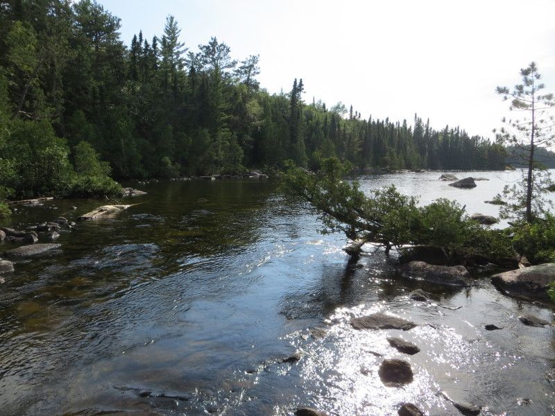
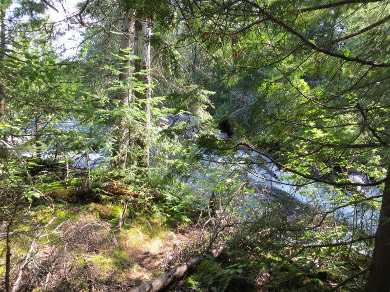
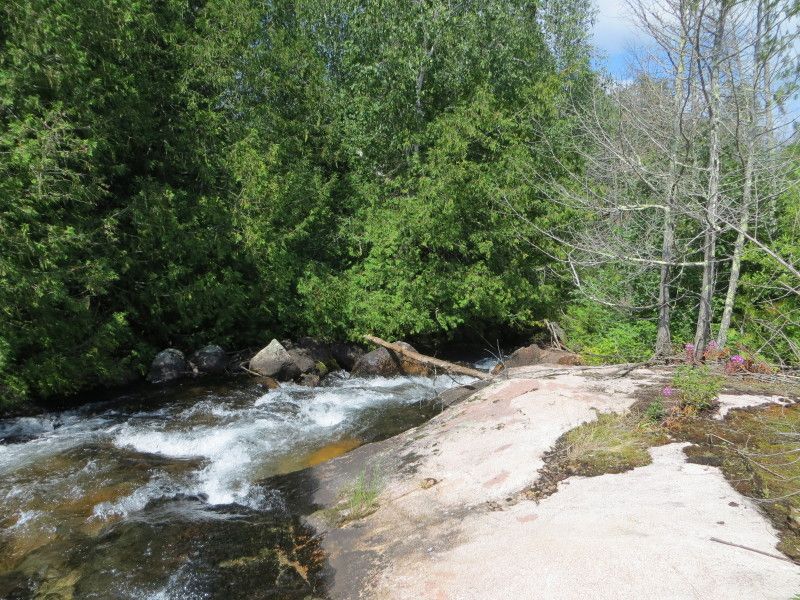
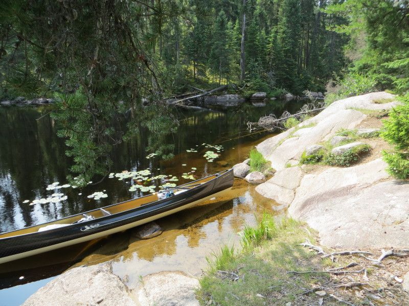
Lower Stewart Lake and the landing to the Geejay Lake Port
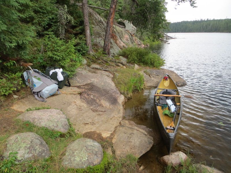
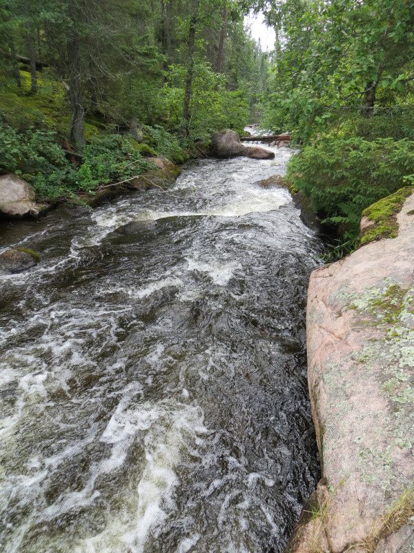
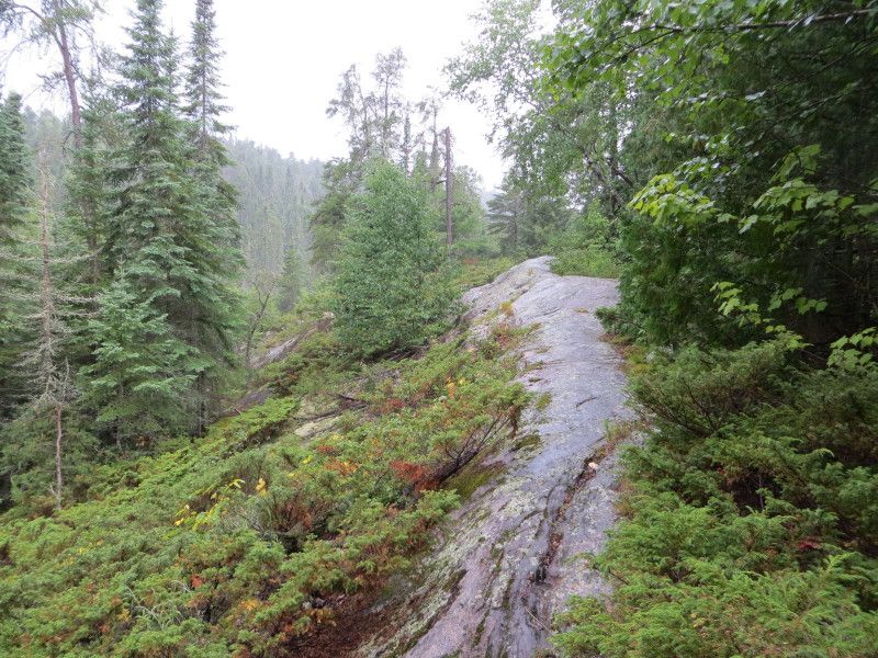
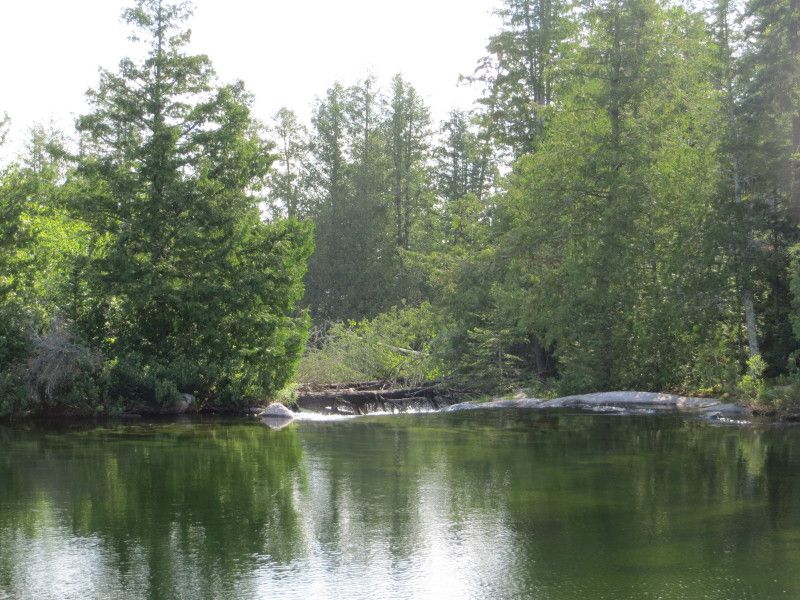
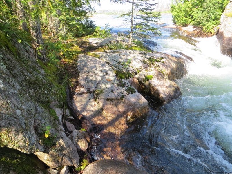
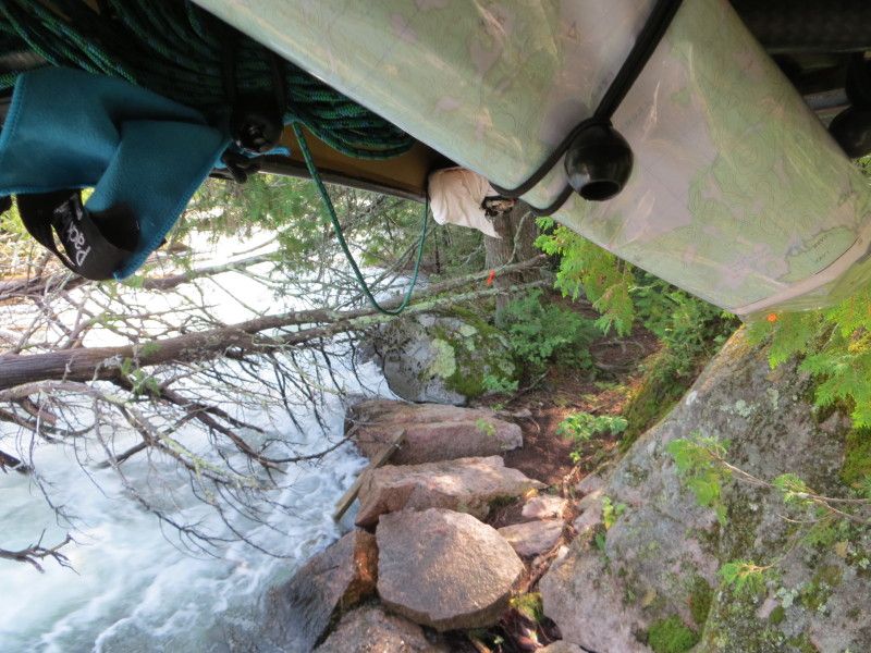
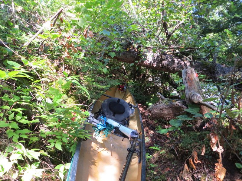
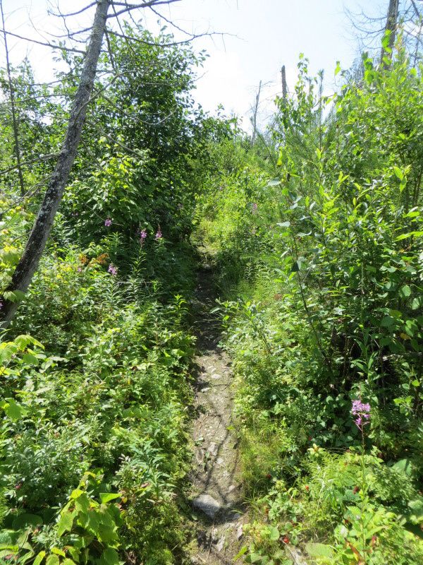
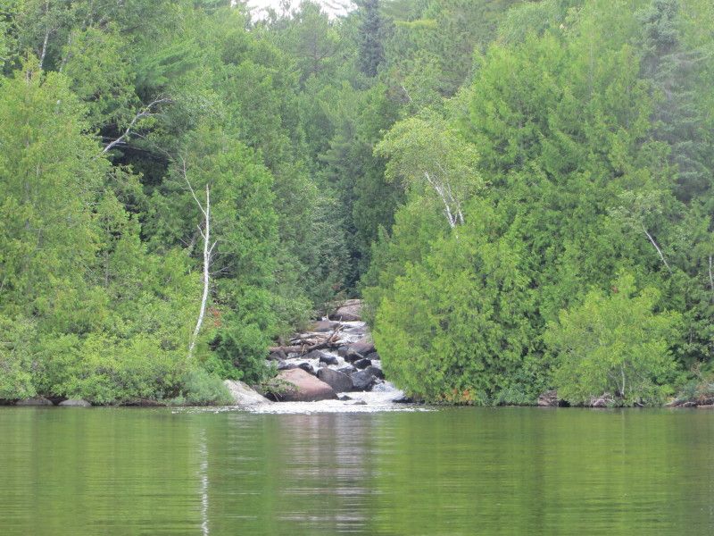
A few of the water and one at the end of the port
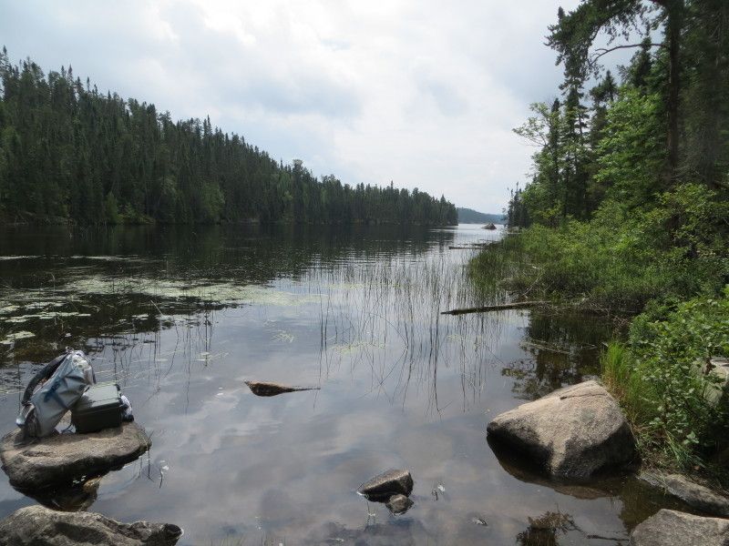
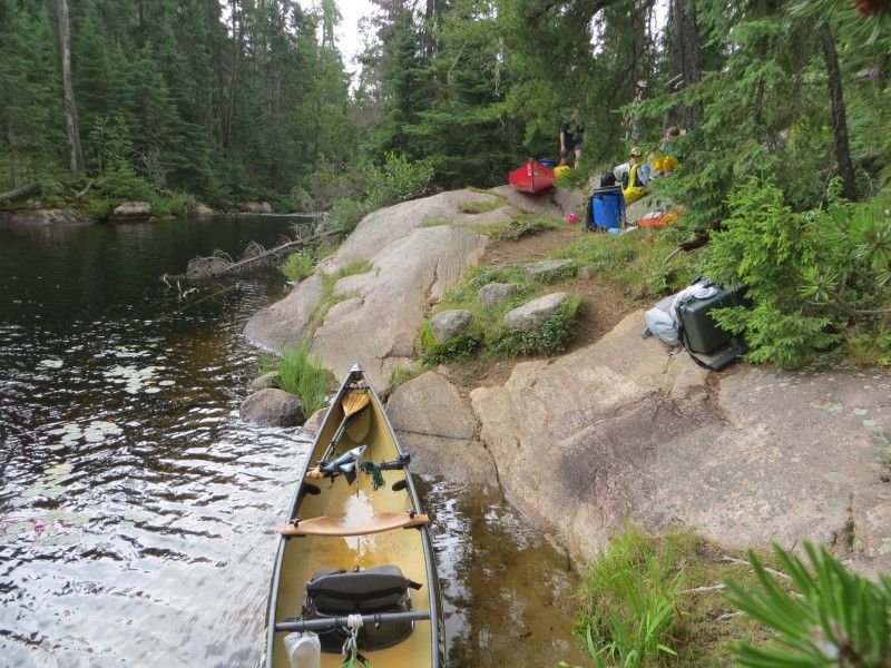
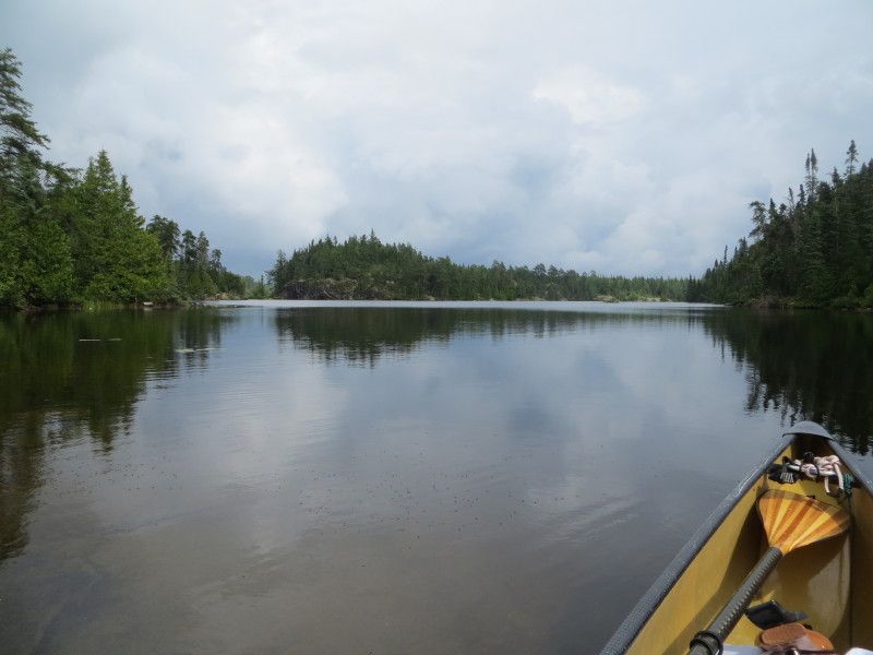
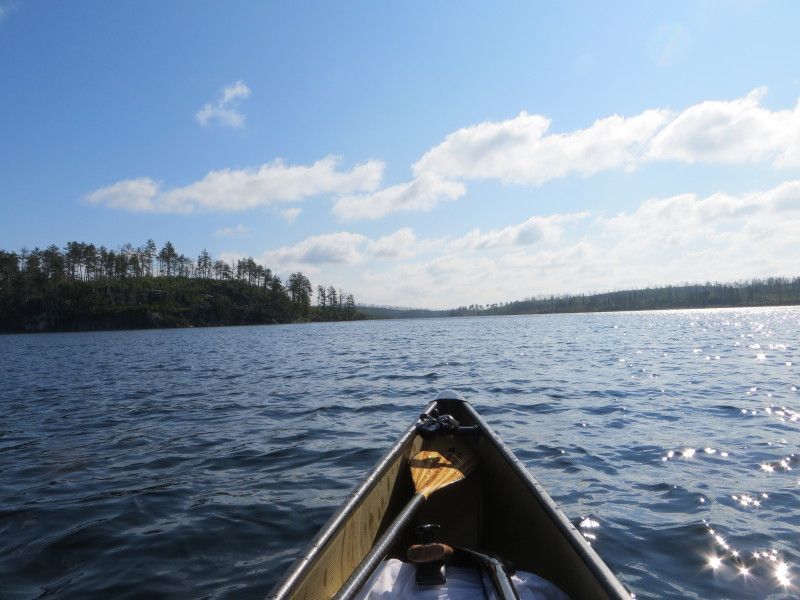
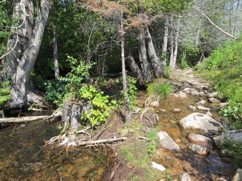
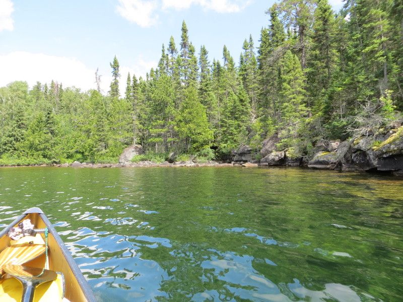
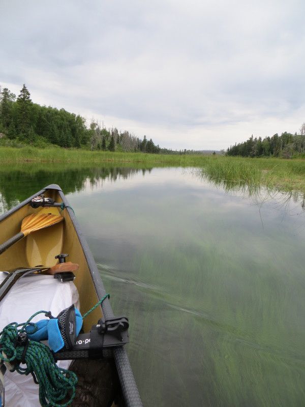
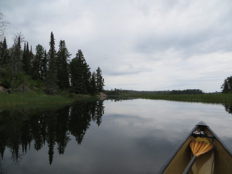
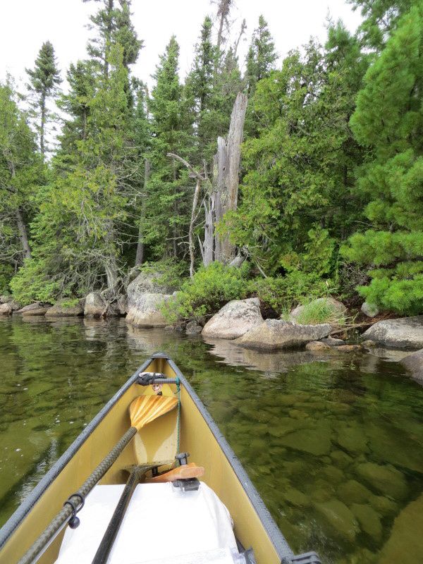
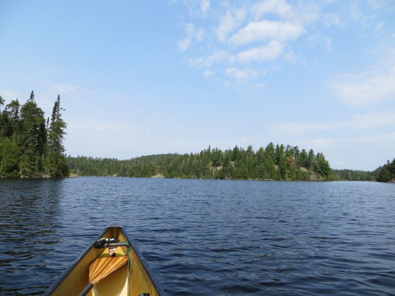
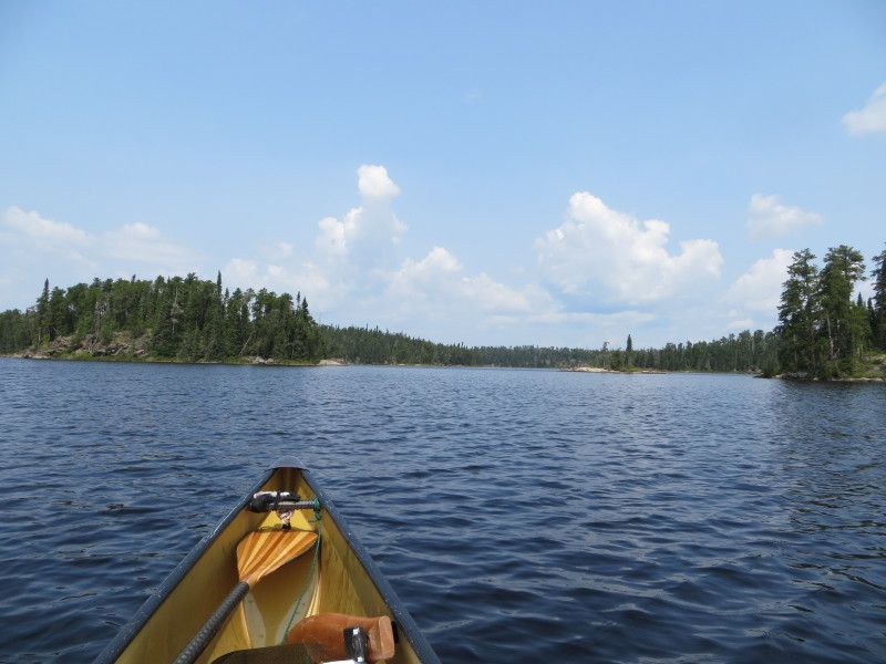
A quick run across Geejay Lake and then on to the Manomin Port
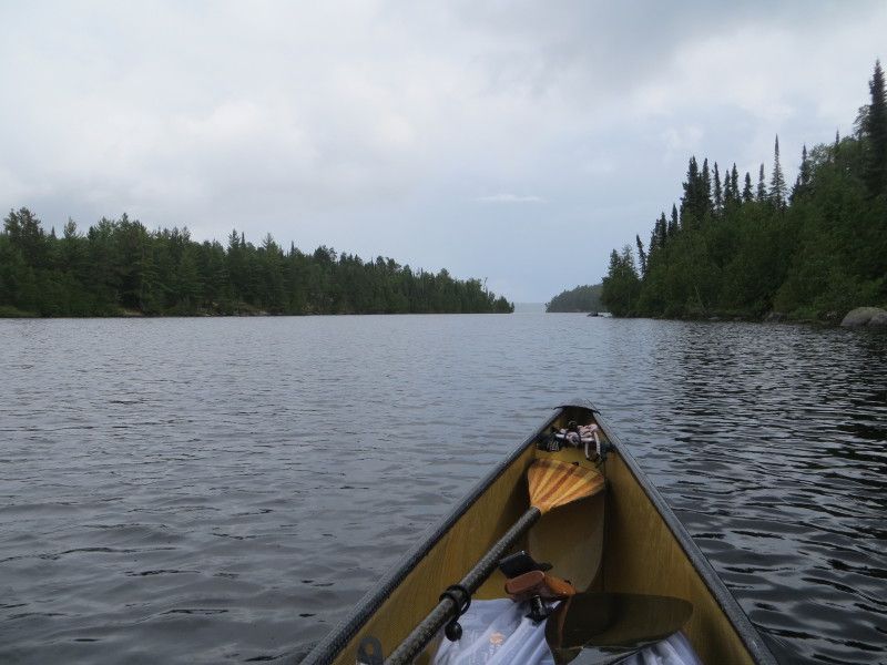
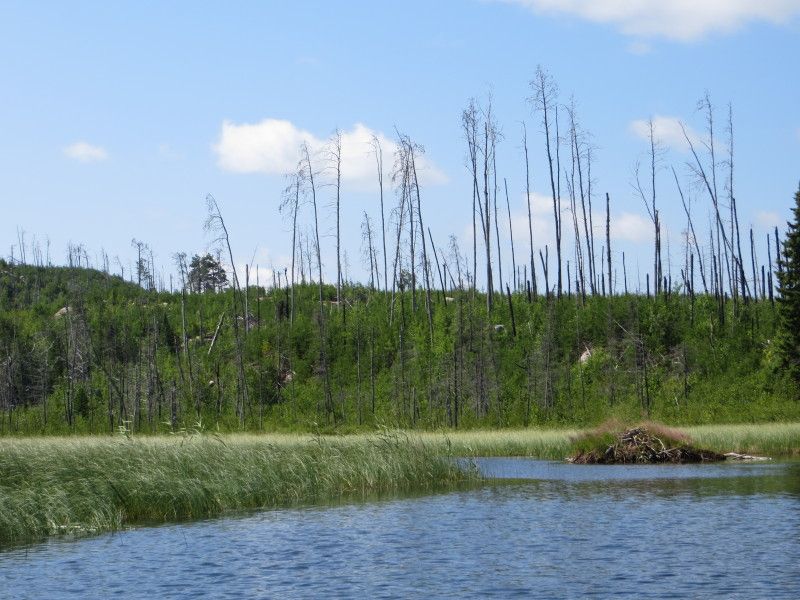
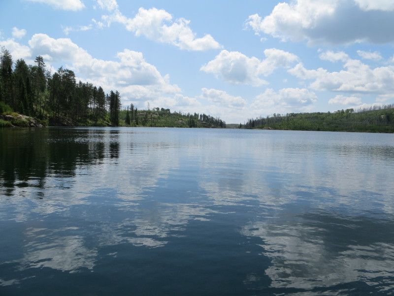
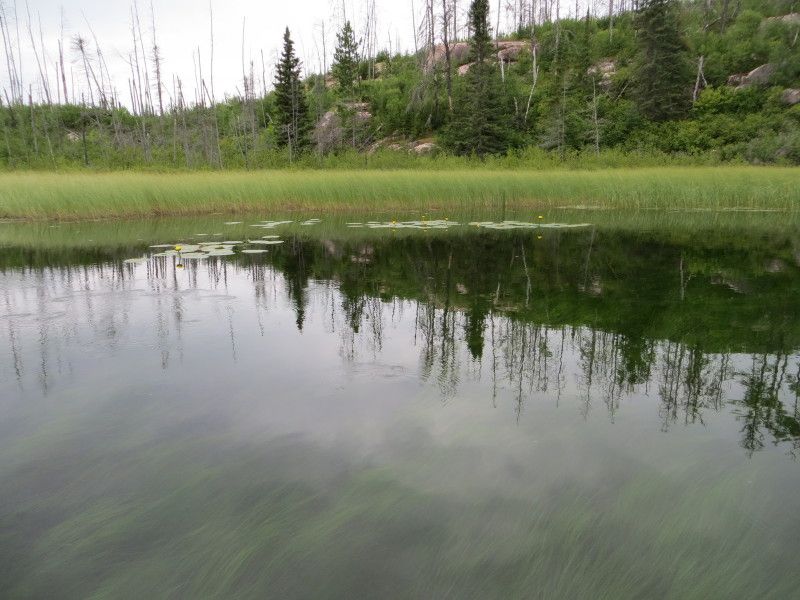
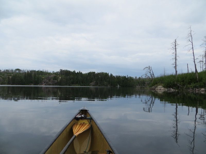
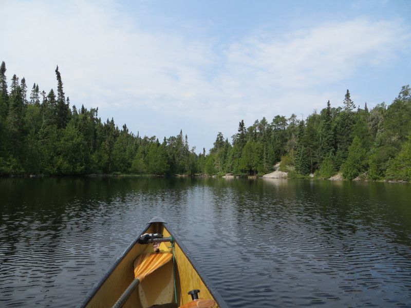
Now on Manomin Lake with just the end of some rain from the time on port
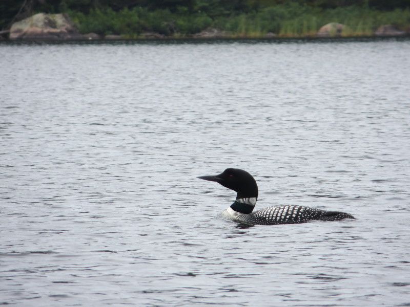
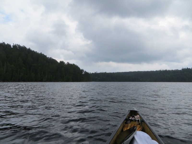
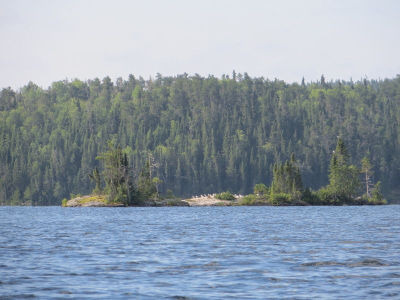
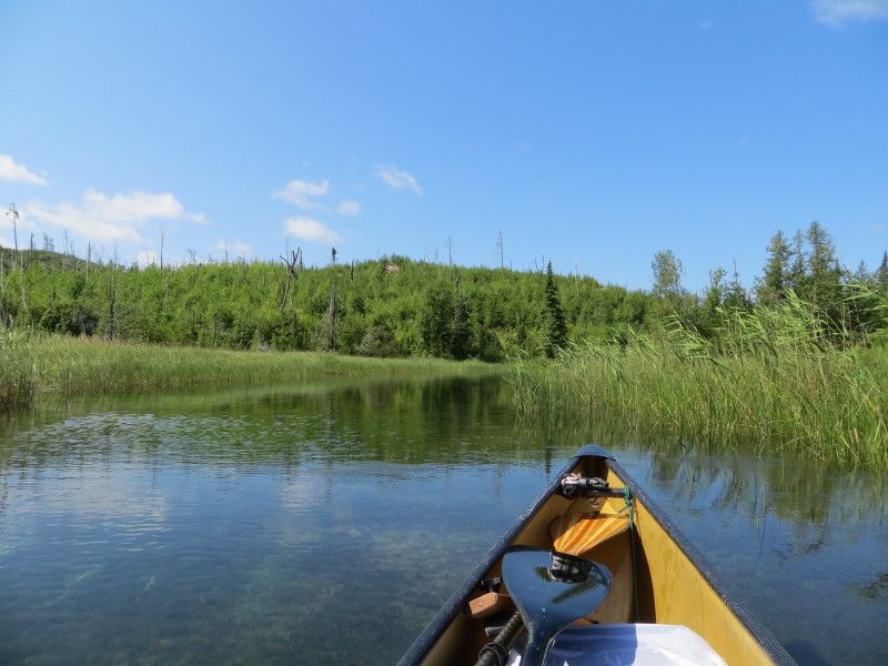
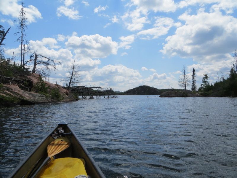
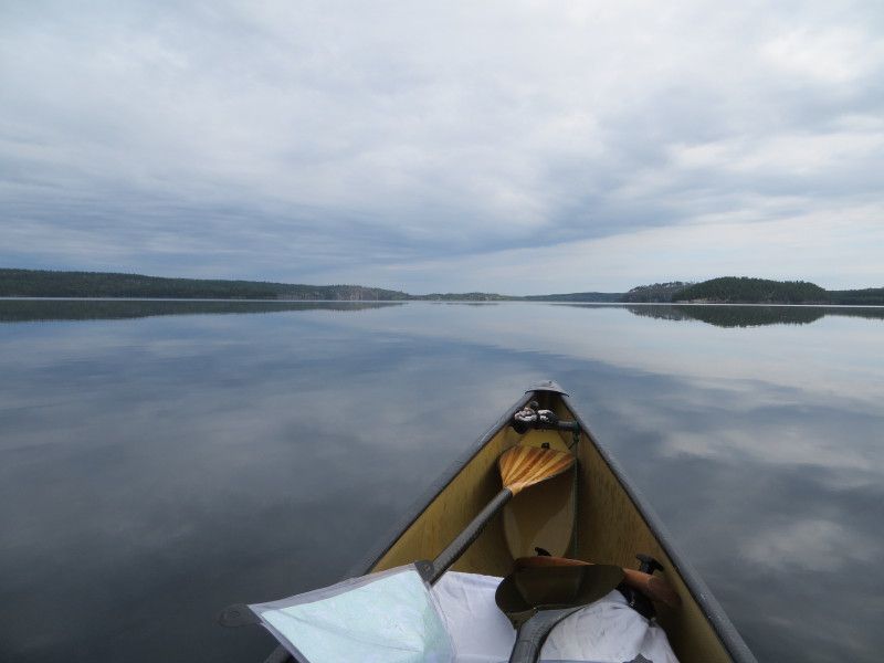
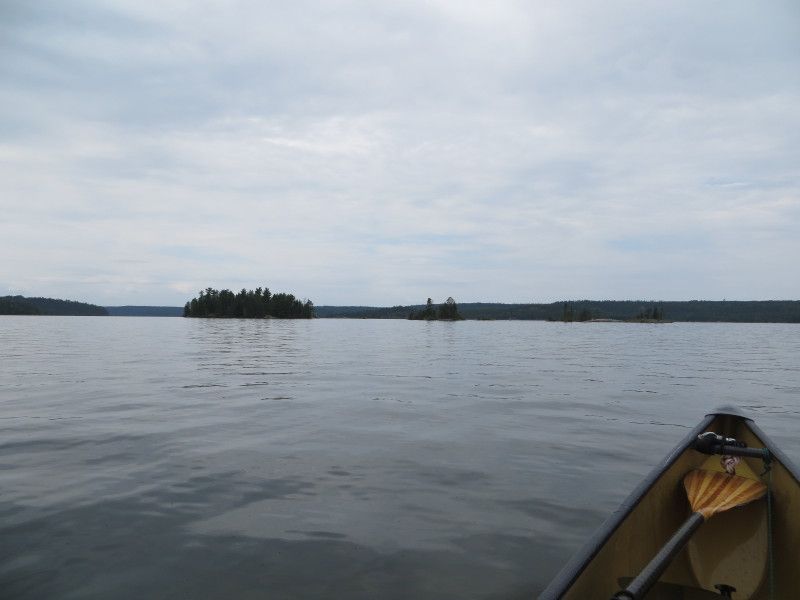
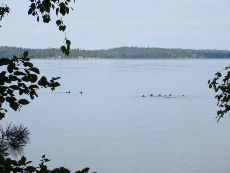
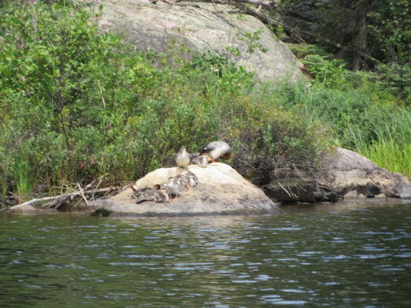
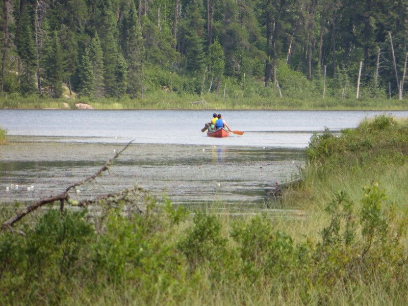
And now some fun on Manomin Lake
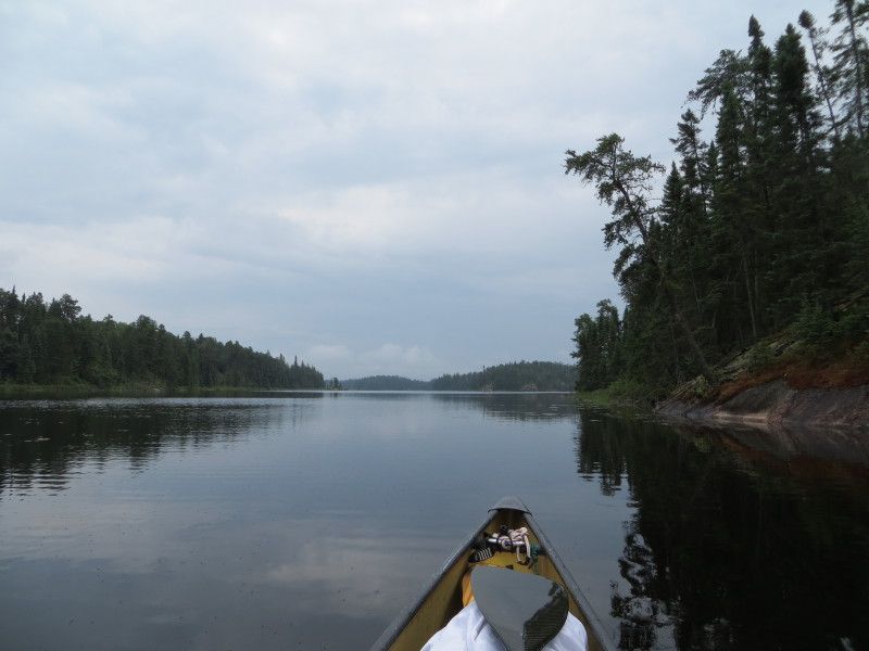
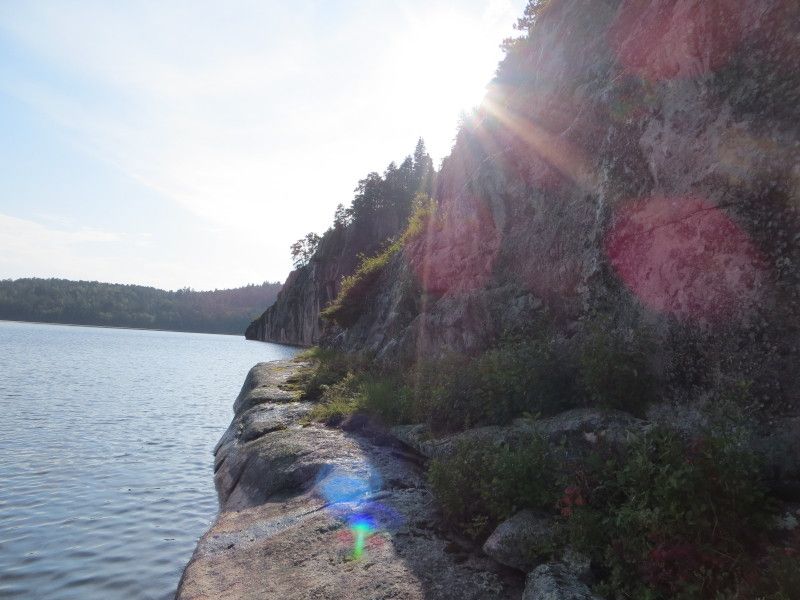
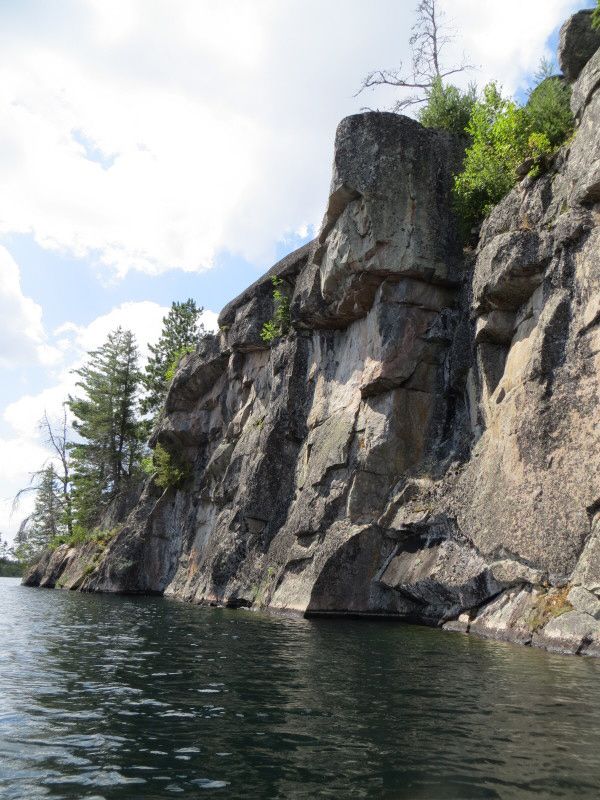
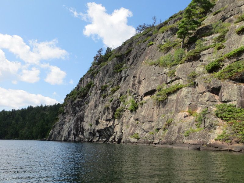
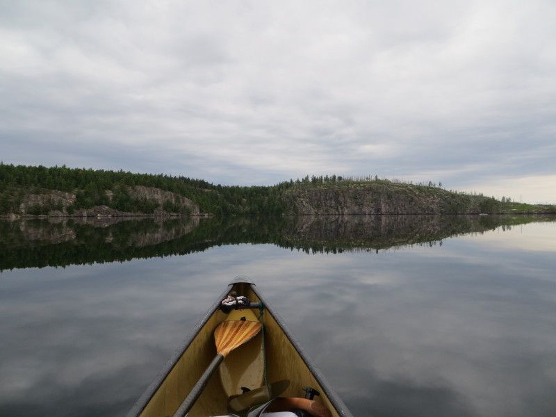
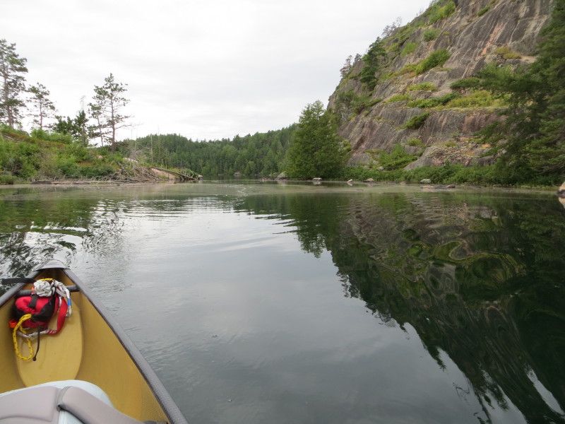
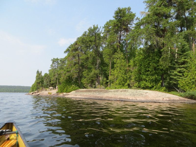
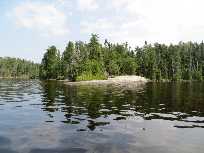
Land of the cliffs...
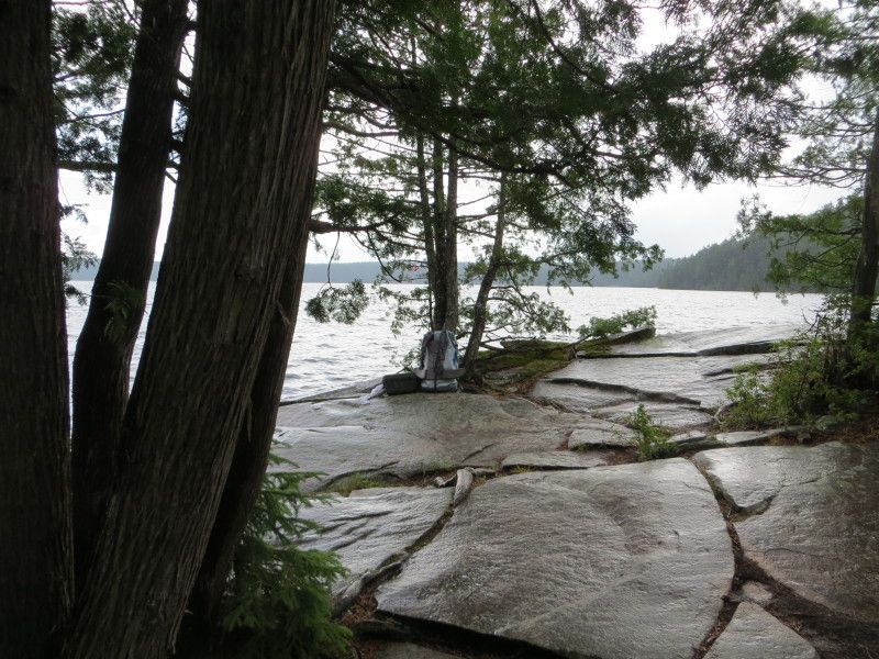
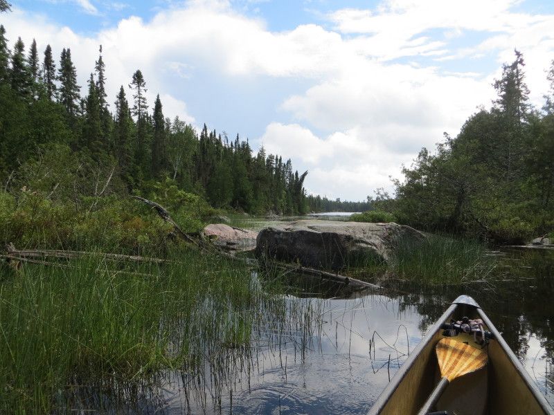
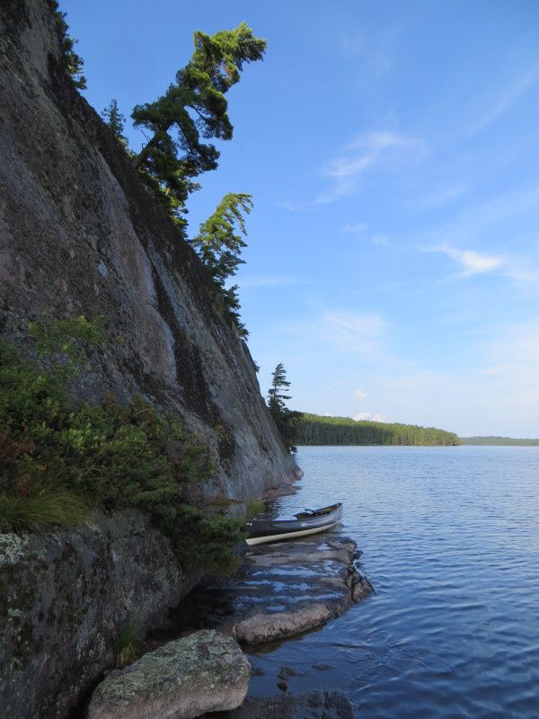
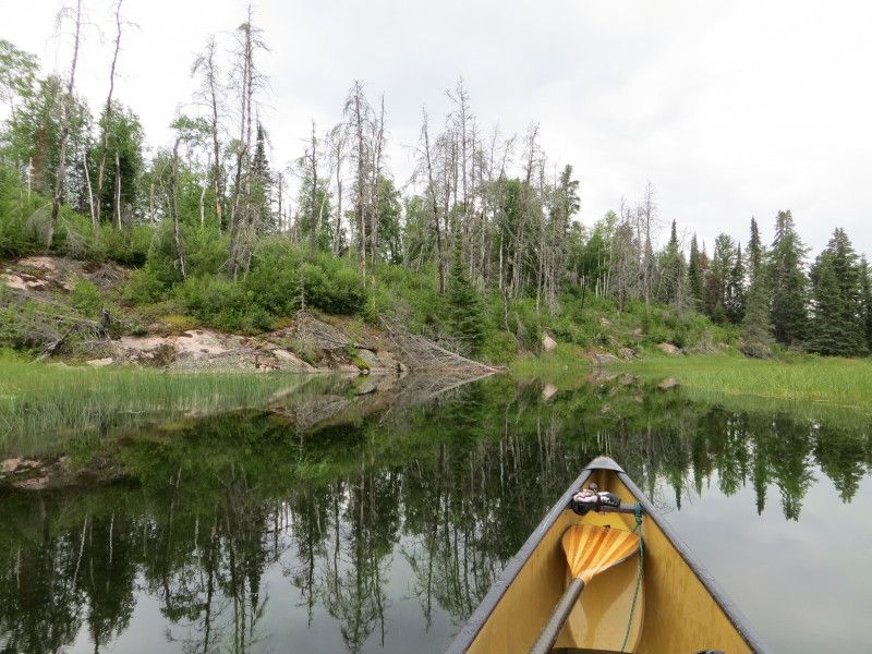
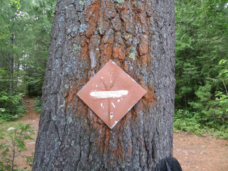
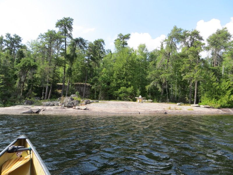
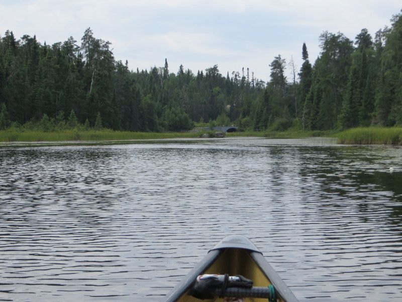
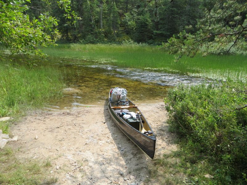
Landing at the Winnange Lake port
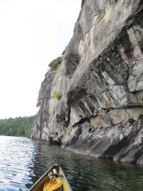
And looking back from Winnange Lake side
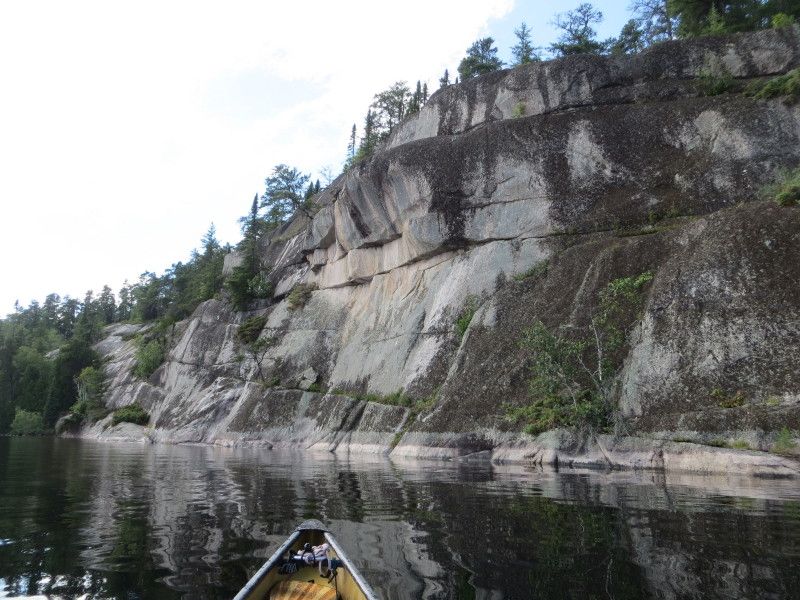
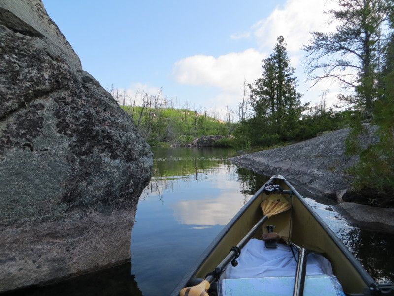
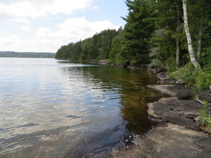
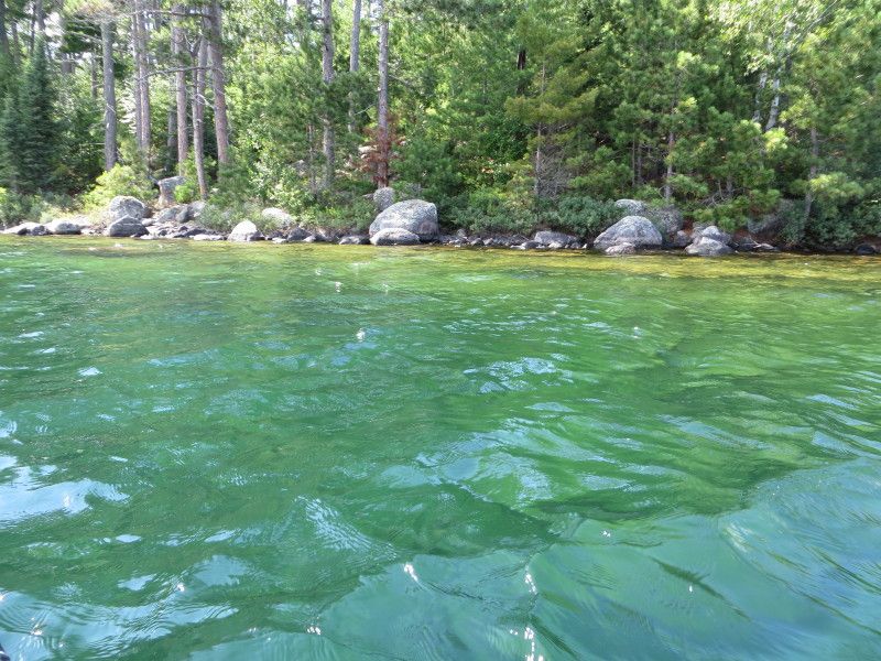
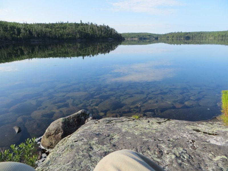
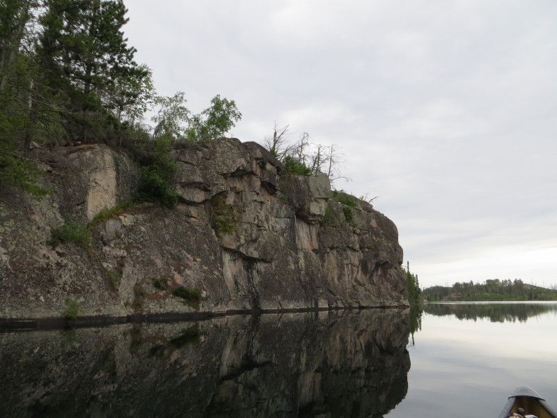
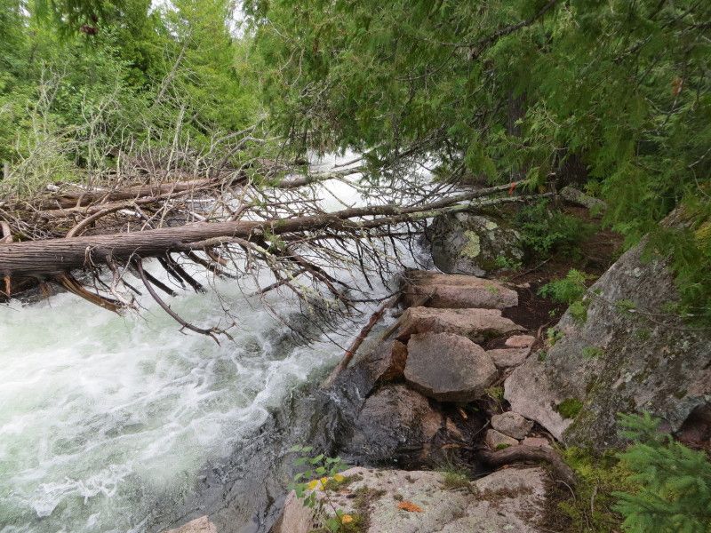
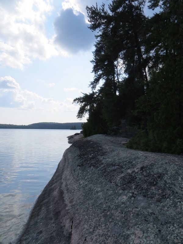
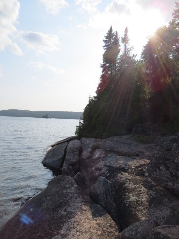
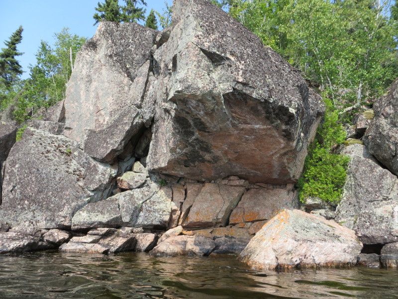
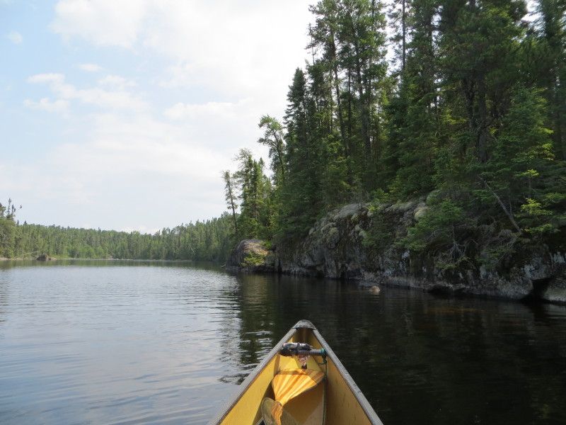
A few of the cliff just north of the port exit, a great spot to check out!

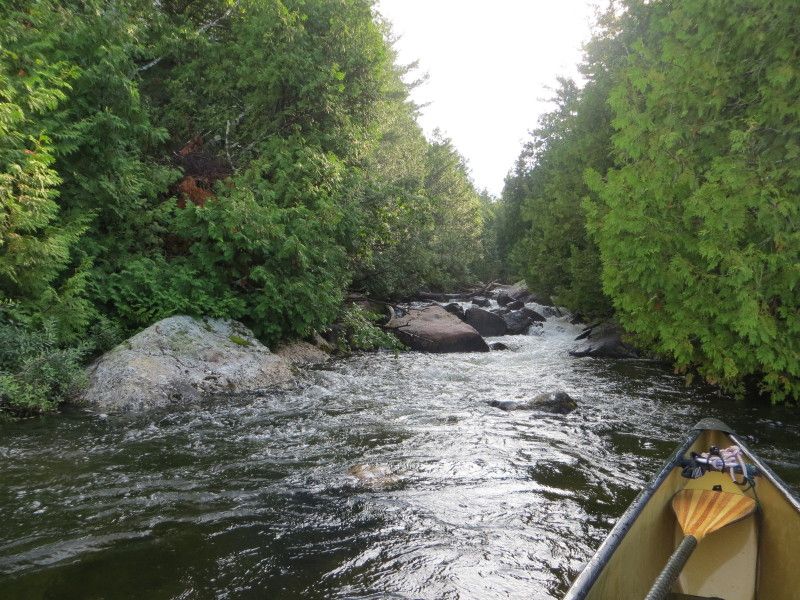
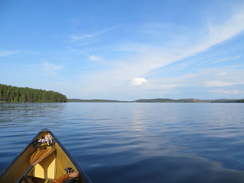
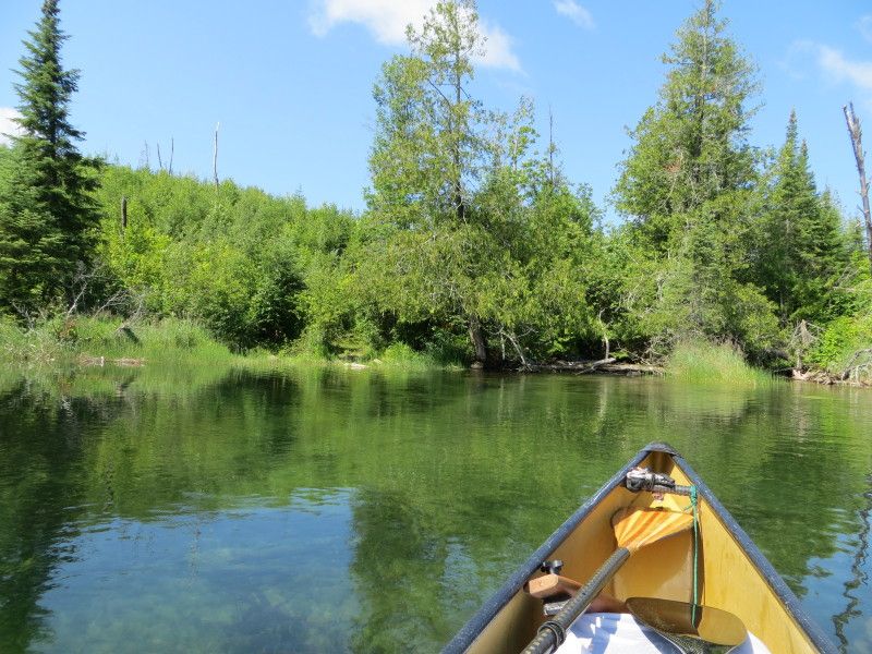
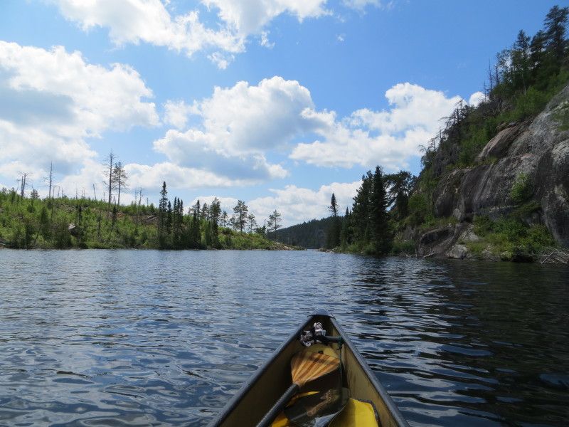
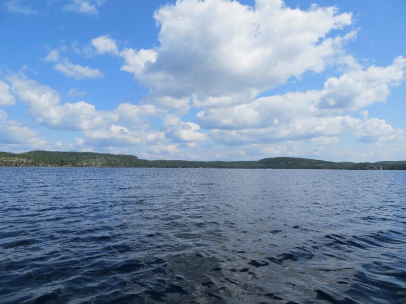
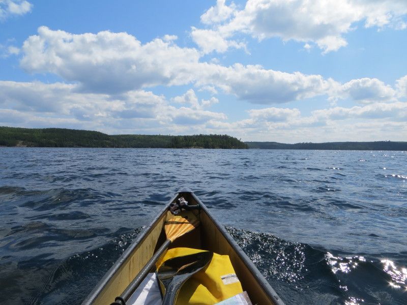
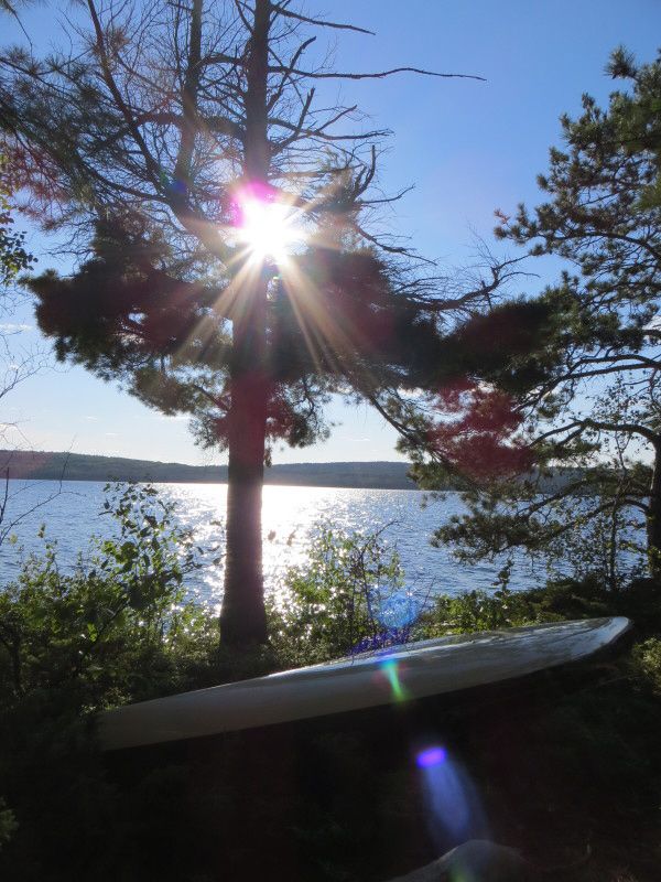
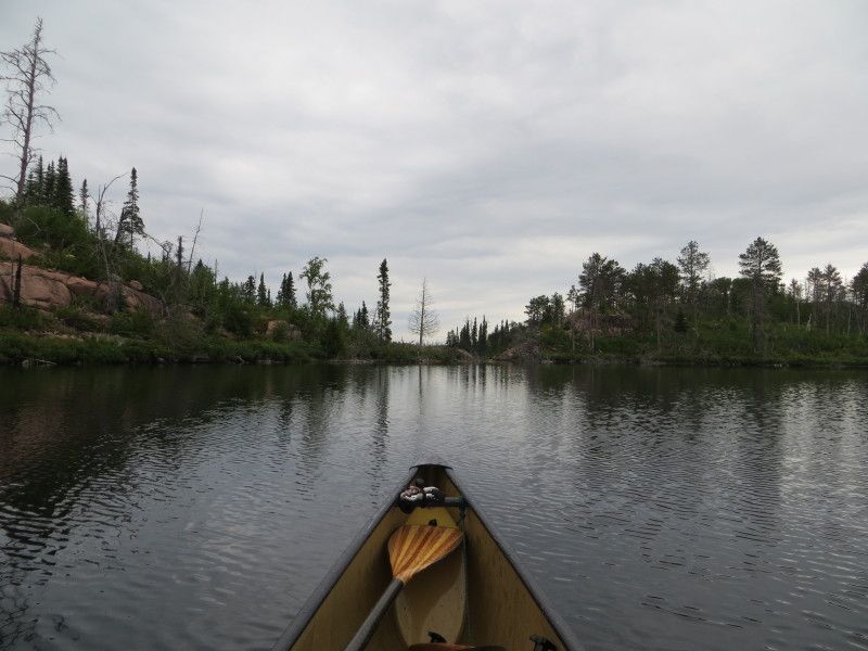
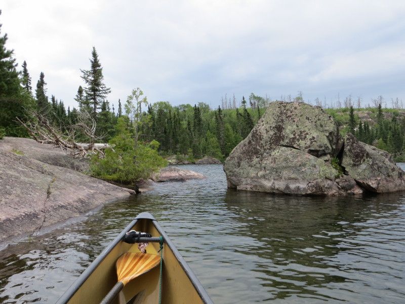
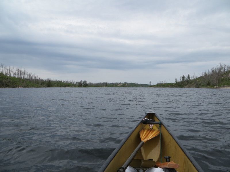
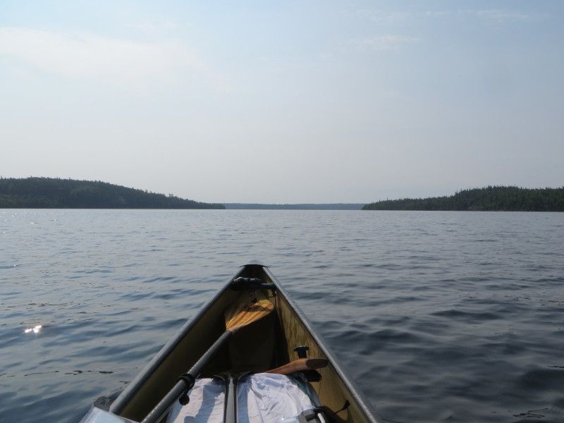
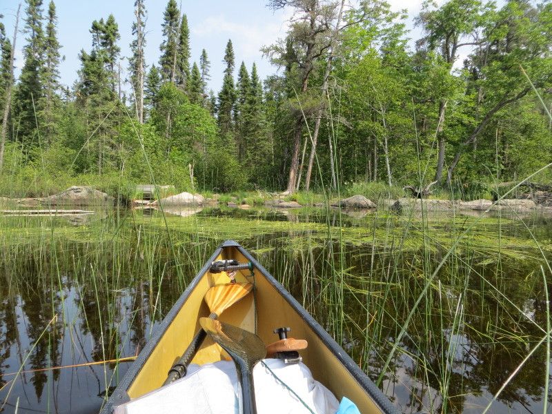
Then a few km of lake travel and onwards south to more fun
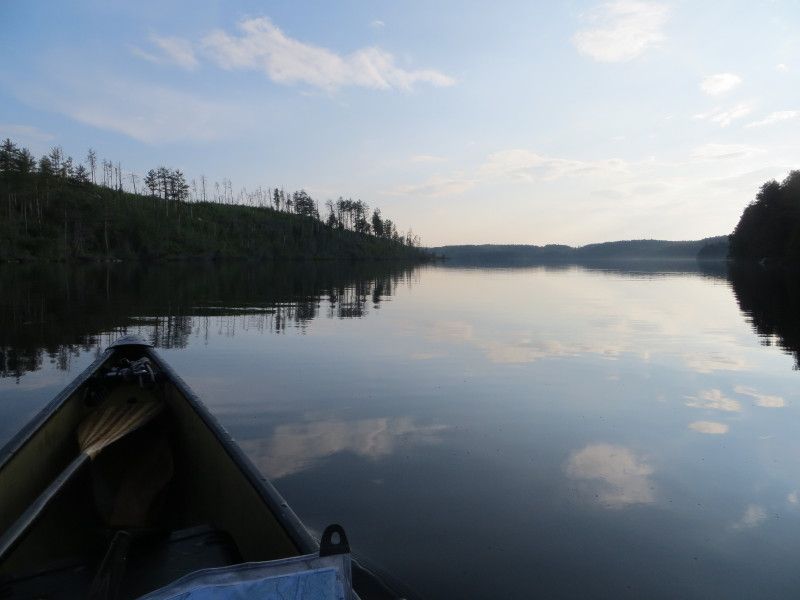
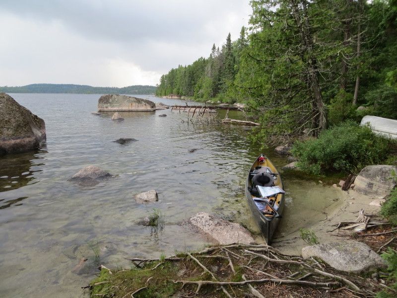
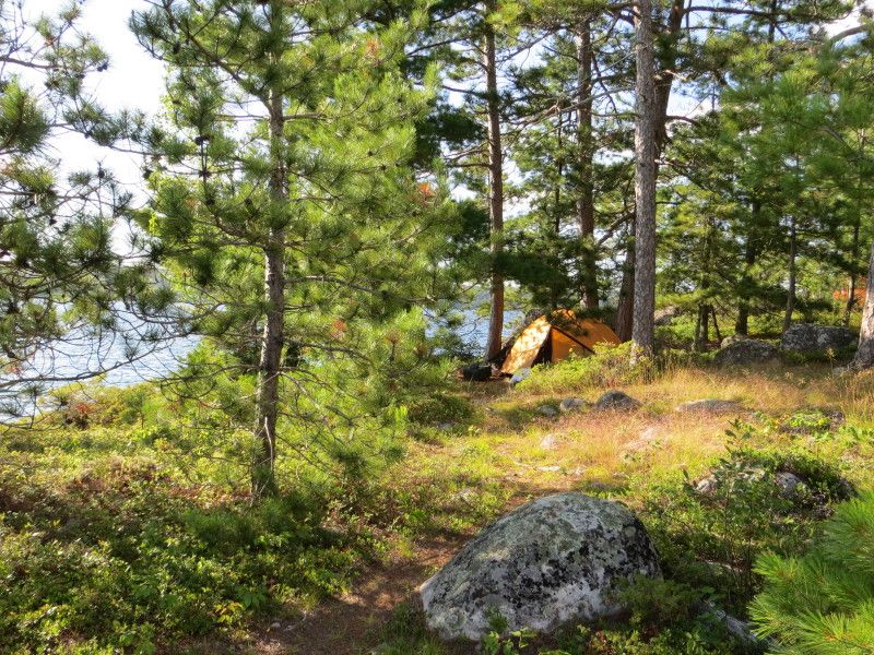
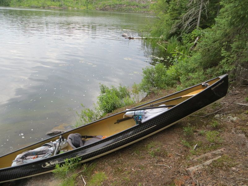
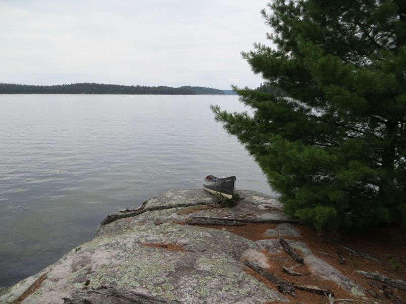
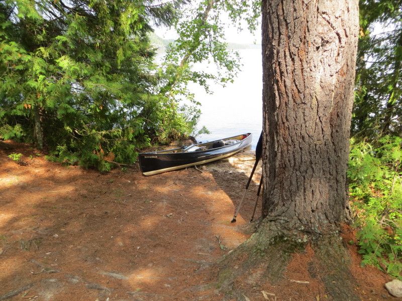
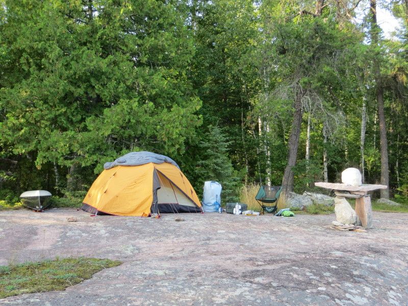
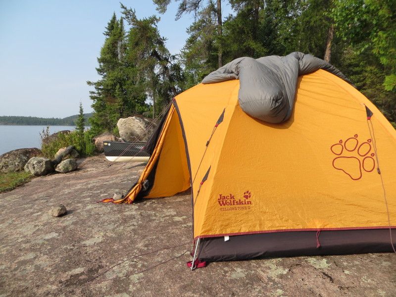
End of the day and time for some sleep
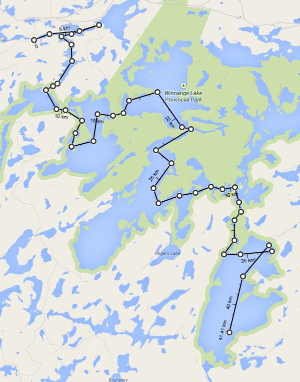
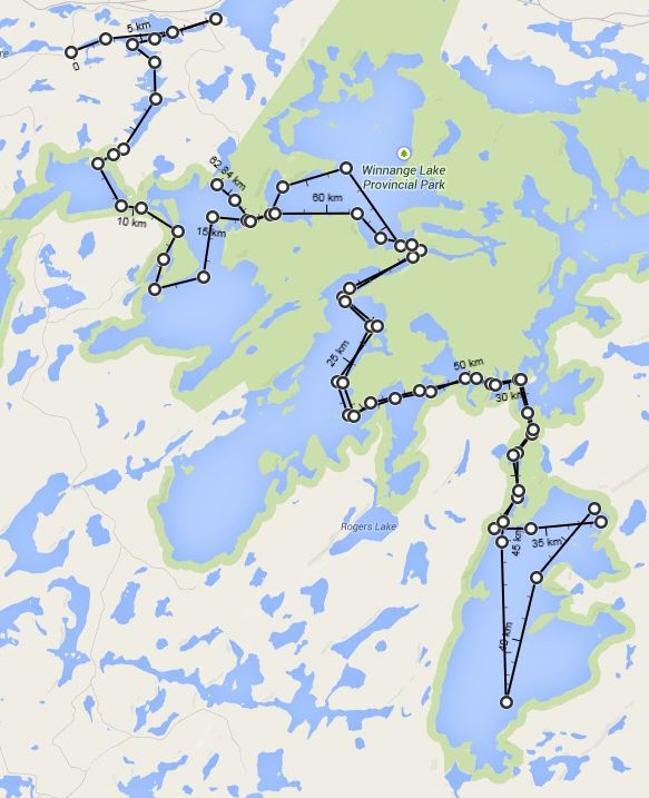
Map of today's travels
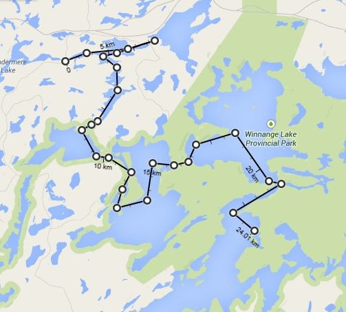
August Long Weekend plus a day, ELA time! This time from the Winnange Lake park area. Took HWY 17 east of hwy 71 by 42 km and turned down a small access gravel road to get the west most finger of Stewart Lake. 50m port from the truck to the creek and we are in business! 71km of paddling and 115lbs of gear and boat will not help on the 6520m of overland travel but such is life!
Day 1
First day started with rain and a nice long highway drive from Winnipeg. After checking out the Upper Stewart lake connection and wood bridge remnants it was time to head for the Geejay Lake port. At 270m was fairly nice except for the rock garden at the other side. Ran into a family at the start of the port but I quickly got my canoe out of the way to allow for the loading of all of there gear and kids etc. Was happy I was going lighter than that! 2x on the port though, I like the single carry better! Lol
From Geejay went across the lake directly on to the Manomin Lake Port. At 323m another nice one. But then the rain hit and soaked down the rock trail. Glad I did not slip/slide down any rock slopes! Tired after running this one twice. A nice set of cabins on this lake, was surprised to see them there.
Now on Manomin Lake I did a little sight seeing around the larger islands and then took off across to the lake towards the Winnange Lake port. Some nice rock cliffs on this lake. The port was 438m and was huffing at the end of the 2nd run. Another rain storm just missed me for the most part and I got just a light dusting.
On Winnange Lake I took a detour over to the main cliff face on the north side of the port area and started looking for any markings on the rocks etc. Found a cool ledge partially submerged at the cliff face and had a walk around. Then time to jump south past Jackfish bay towards the southern parts. Found a nice little rock ledge and had me a campsite for the night. At 24km of paddling and 3243m of port carries it was time for dinner and a snooze.
And now some pictures....
Starting point
Stewart Lake heading towards Upper Stewart
The old wood bridge remants and the Upper Stewart Lake starting point
Lower Stewart Lake and the landing to the Geejay Lake Port
A few of the water and one at the end of the port
A quick run across Geejay Lake and then on to the Manomin Port
Now on Manomin Lake with just the end of some rain from the time on port
And now some fun on Manomin Lake
Land of the cliffs...
Landing at the Winnange Lake port
And looking back from Winnange Lake side
A few of the cliff just north of the port exit, a great spot to check out!
Then a few km of lake travel and onwards south to more fun
End of the day and time for some sleep
Map of today's travels
Last edited:
")
